Pawpaw Tunnel
We’ve been meaning to go to the Pawpaw tunnel for a while now, but it’s a bit of a drive so have put it off until today. The tunnel is about six-tenths of a mile long (3,118 feet) and it located between miles 155 and 156 on the canal. I put “Pawpaw Tunnel” in my GPS and didn’t really look to see where, specifically, it was taking us. We ended up on a gravel road called Tunnel Hill Road, which sounded right, but which ended in a parking area well above the canal. This turns out to be the Paw Paw Tunnel Hill Trail, rather than the towpath. We walked south on the trail, which is upstream at this point. It went down quite steeply, eventually coming down onto the towpath at the south entrance to the tunnel.
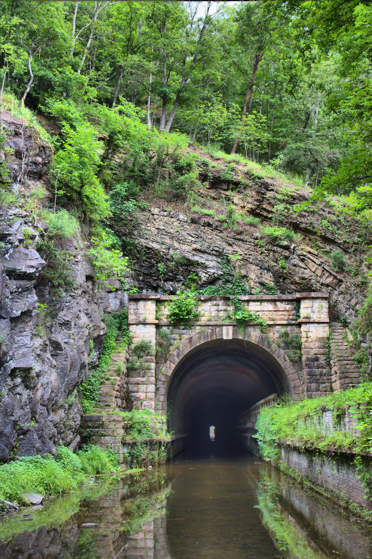
We walked through the tunnel, which is longer than it looks and while it seems from the outside like you’ll be able to see the whole way through, it’s a good idea to bring flashlights. This photo is the south (upstream) entrance to the tunnel. We continued on the towpath as far as lock 66. Then we turned back and took the fork off of the towpath onto the northern section of the Tunnel Hill Trail, returning to our car. That part of the trail is a little less steep, although obviously it climbs about the same distance we had come down.
All in all, it was a good walk. More strenuous than we expected, but in the end, we were glad we did it. It would, of course, be a lot easier to park at the parking area just off Oldtown Road SE (MD 51) and I’d recommend that for anyone who isn’t ready for a real hike. Of course, it would mean going through the tunnel twice to return to your car, but that’s not a huge problem.