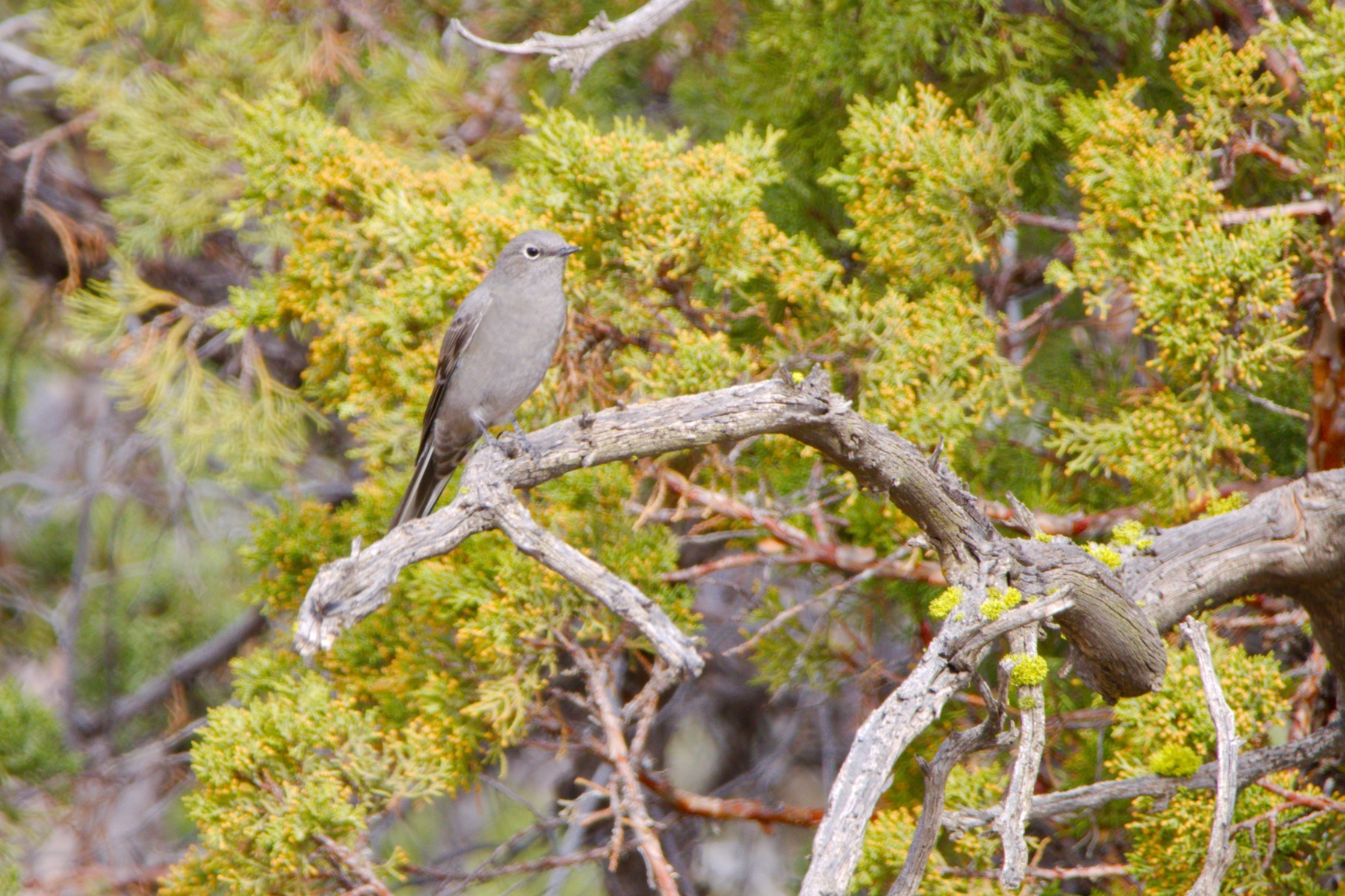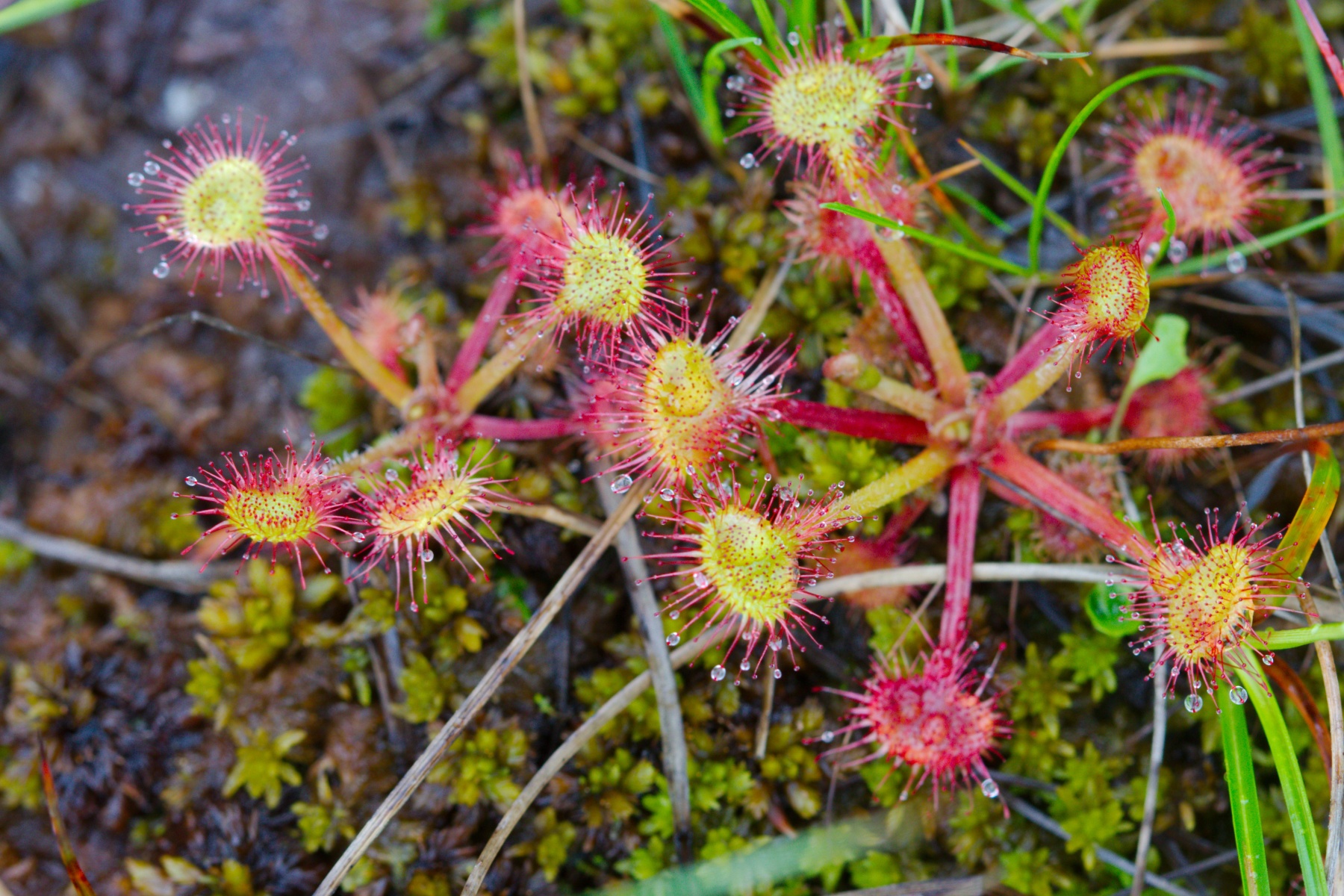
Drosera rotundifolia
(Round-leaved Sundew)

Drosera rotundifolia
(Round-leaved Sundew)
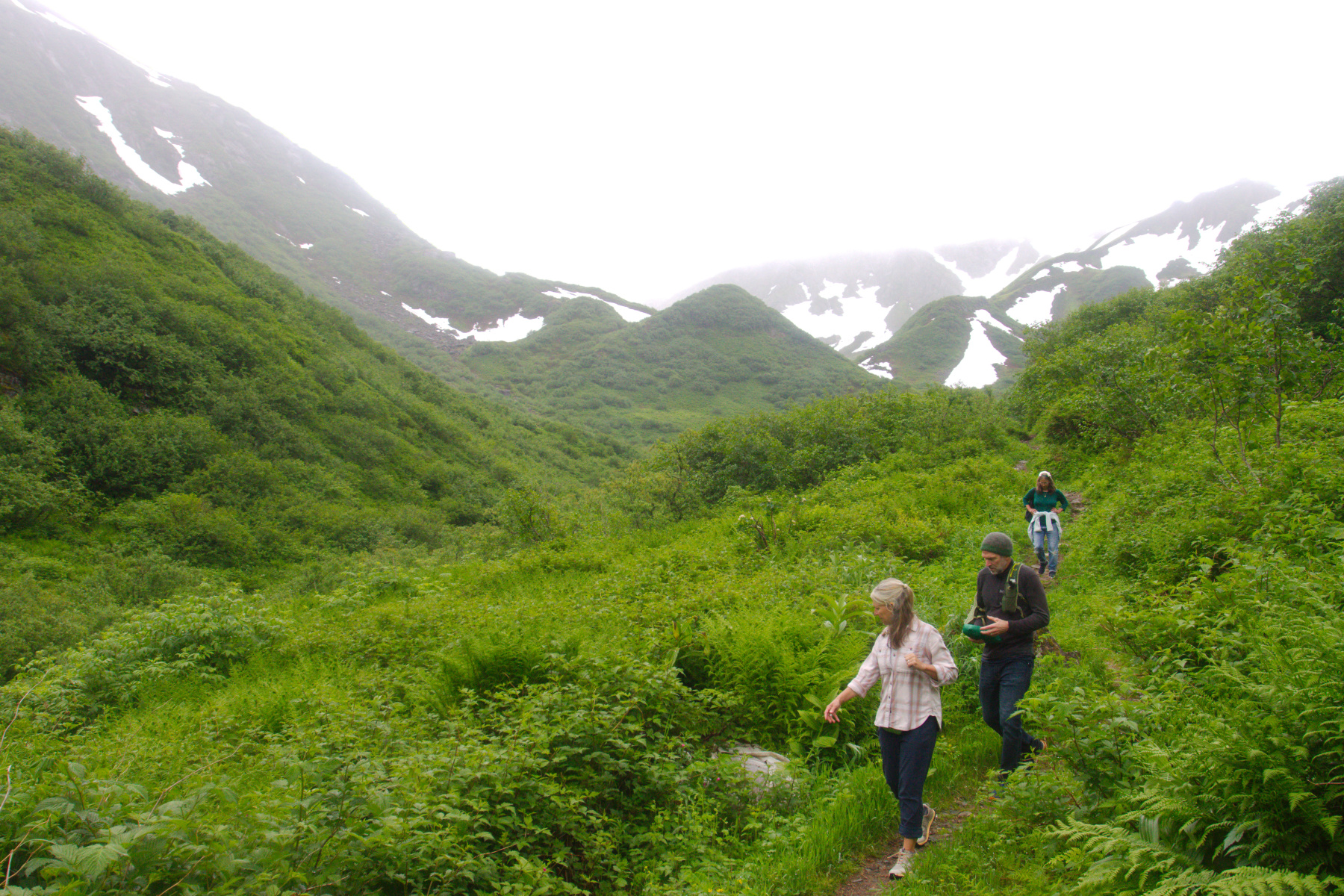
Dan Moller Trail Muskeg
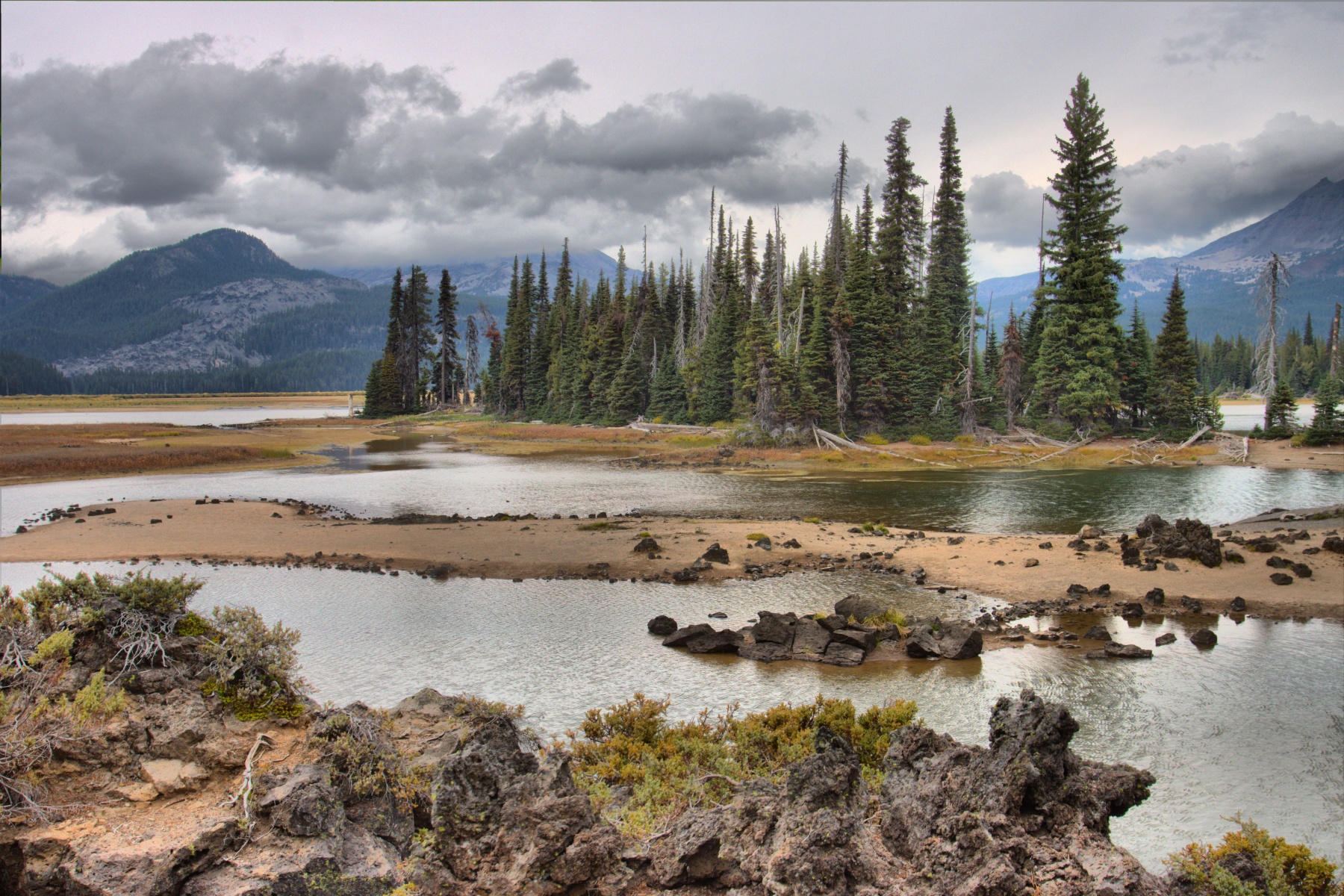
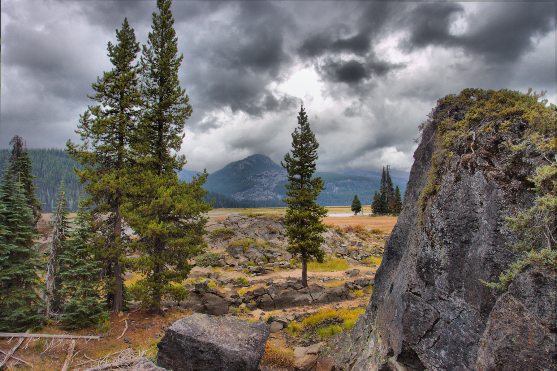
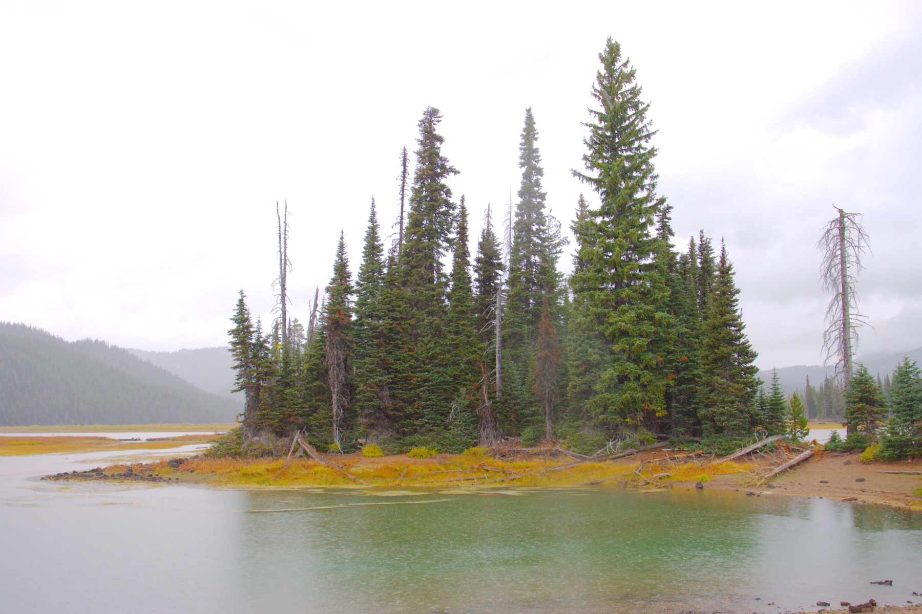
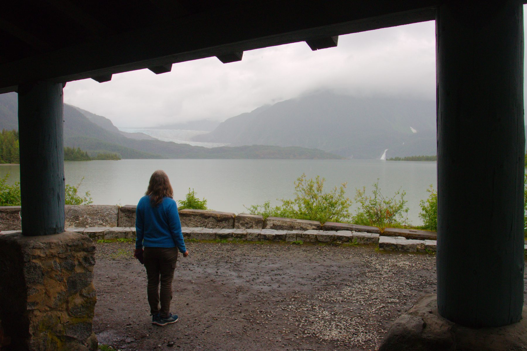
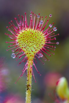
Another of my favorite trails in the Juneau area is the Dan Moller Trail on Douglas Island. We went up this with my parents and Albert in 1987 and one of my favorite pictures of my folks was taken from the top of the mountain, looking down on the cabin from above. This was also, I think, the first place we saw sundews in Juneau. There are two main species here and this is Drosera rotundifolia, the round-leaved sundew.
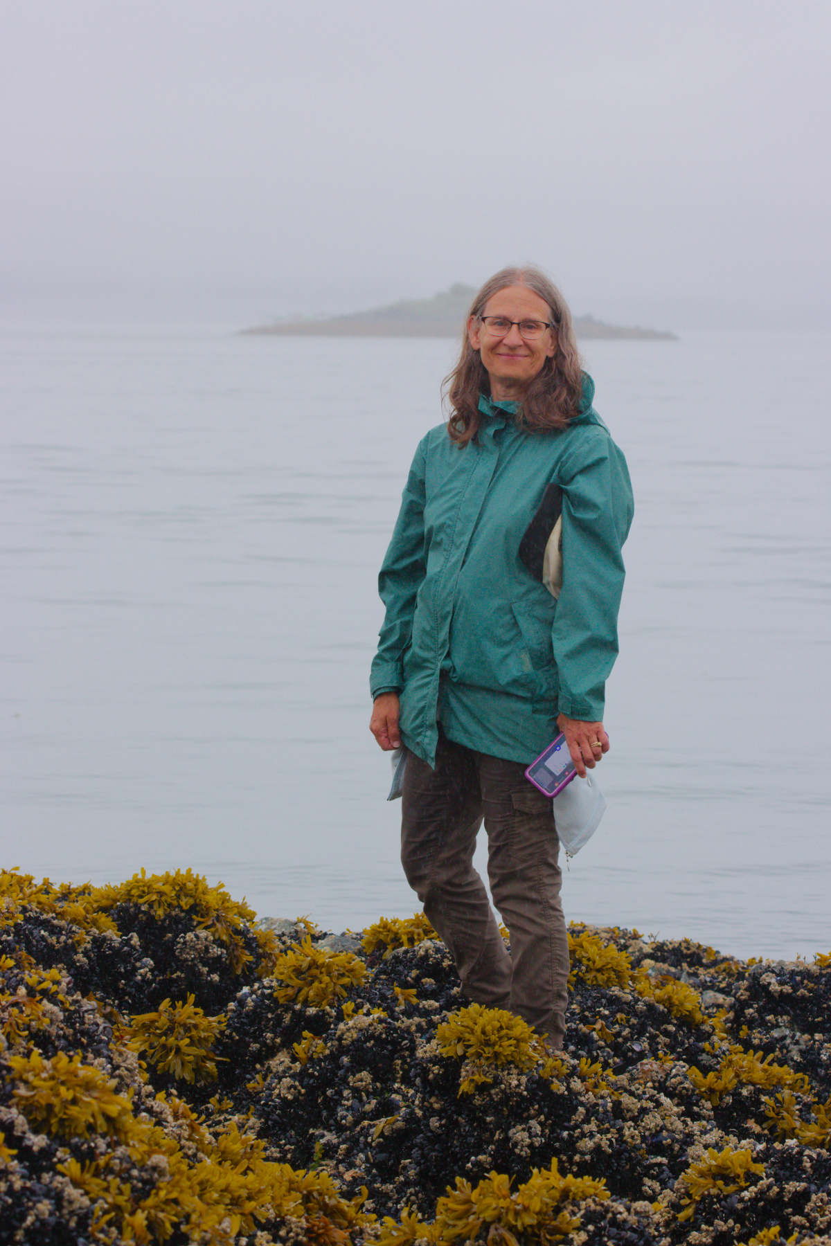
They are surprisingly common and at the same time, almost entirely overlooked. They grow in places that are constantly wet and at the same time sunny (or at least not shady). The slightly dryer parts of muskeg, where it’s almost constantly wet is generally the place. Once you see them, they seem to be everywhere, but until you’ve had them pointed out, they really aren’t very noticeable. The False Outer Point Trail is the other place we saw them. I understand that they are quite common on the Spalding Meadows trail, but we only did that on cross-country skis when the ground was covered with snow, so it wasn’t a good time to see them.
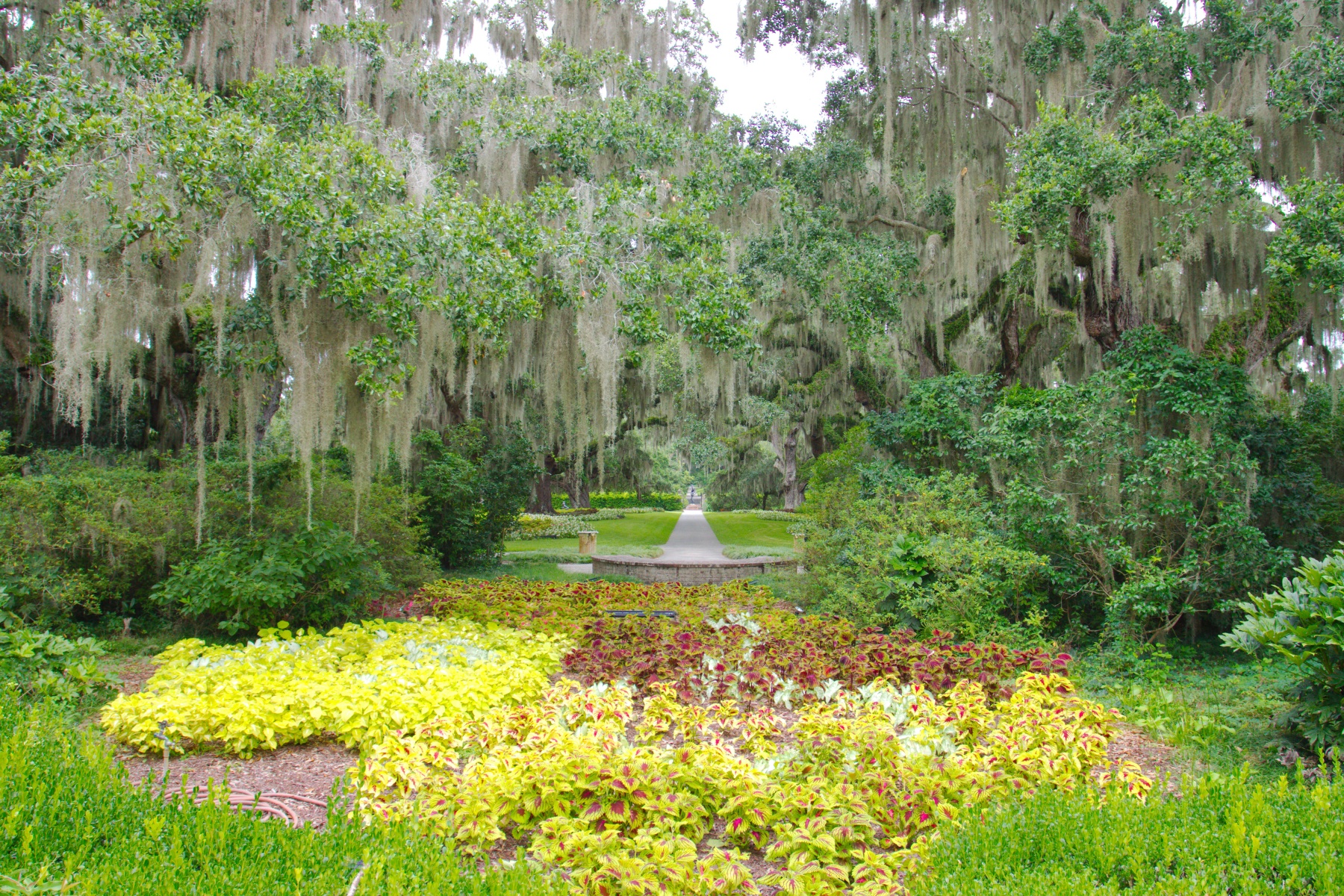
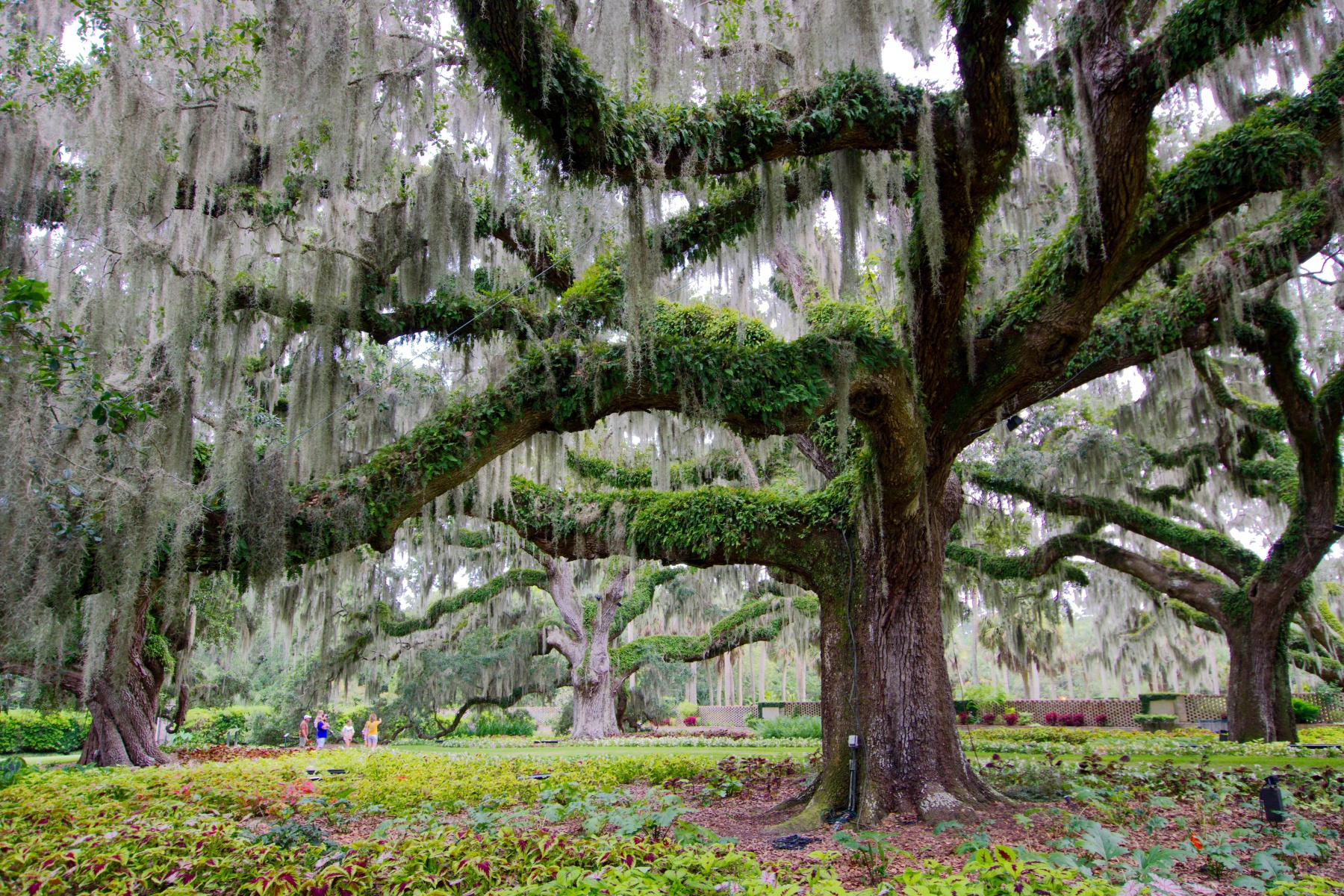
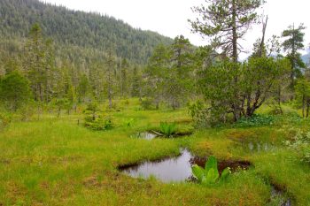
The sundews are not the only thing about the trail that I like. The combination of trees and open, meadow-like muskeg with its abundance and variety of wildflowers and plants is relaxing and beautiful to me. The Labrador tea (Ledum palustris), with its tiny, white flowers, the bog candle orchid (Platanthera dilatata, and many other little flowers are all over. None are terribly flashy but all are lovely in their own way. The usually dark water, the bright greens of the meadows, the darker green of the trees, the blue of the sky (when you are lucky enough to have a blue sky in Juneau), all combine to make a really pretty scene.
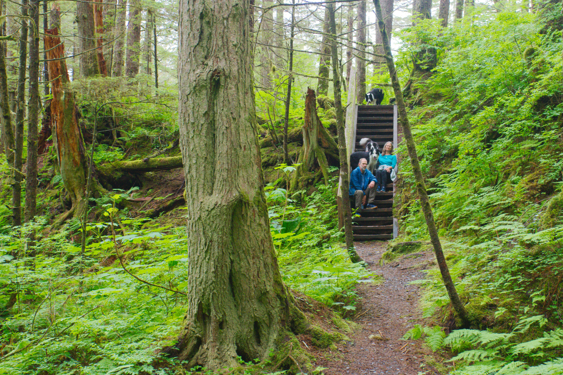
We also hiked a few miles on the Treadwell Ditch Trail, which is a relatively easy trail because it follows the contour of the land. It’s pretty, too, although quite different to the Dan Moller Trail, in spite of their very close proximity to one another. We also got a good view of downtown from the early part of that trail.