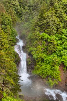
Ebner Falls from Perseverance Trail
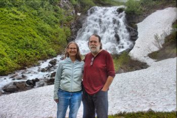
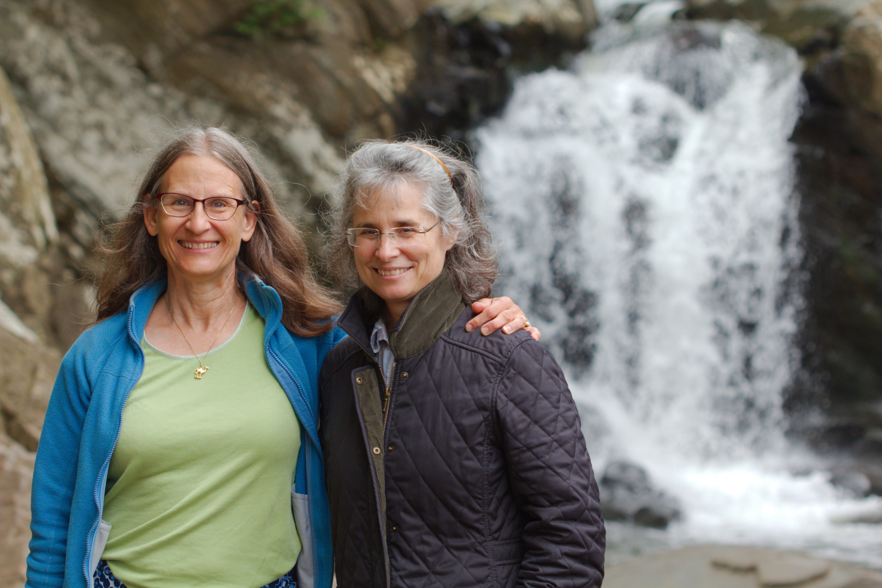
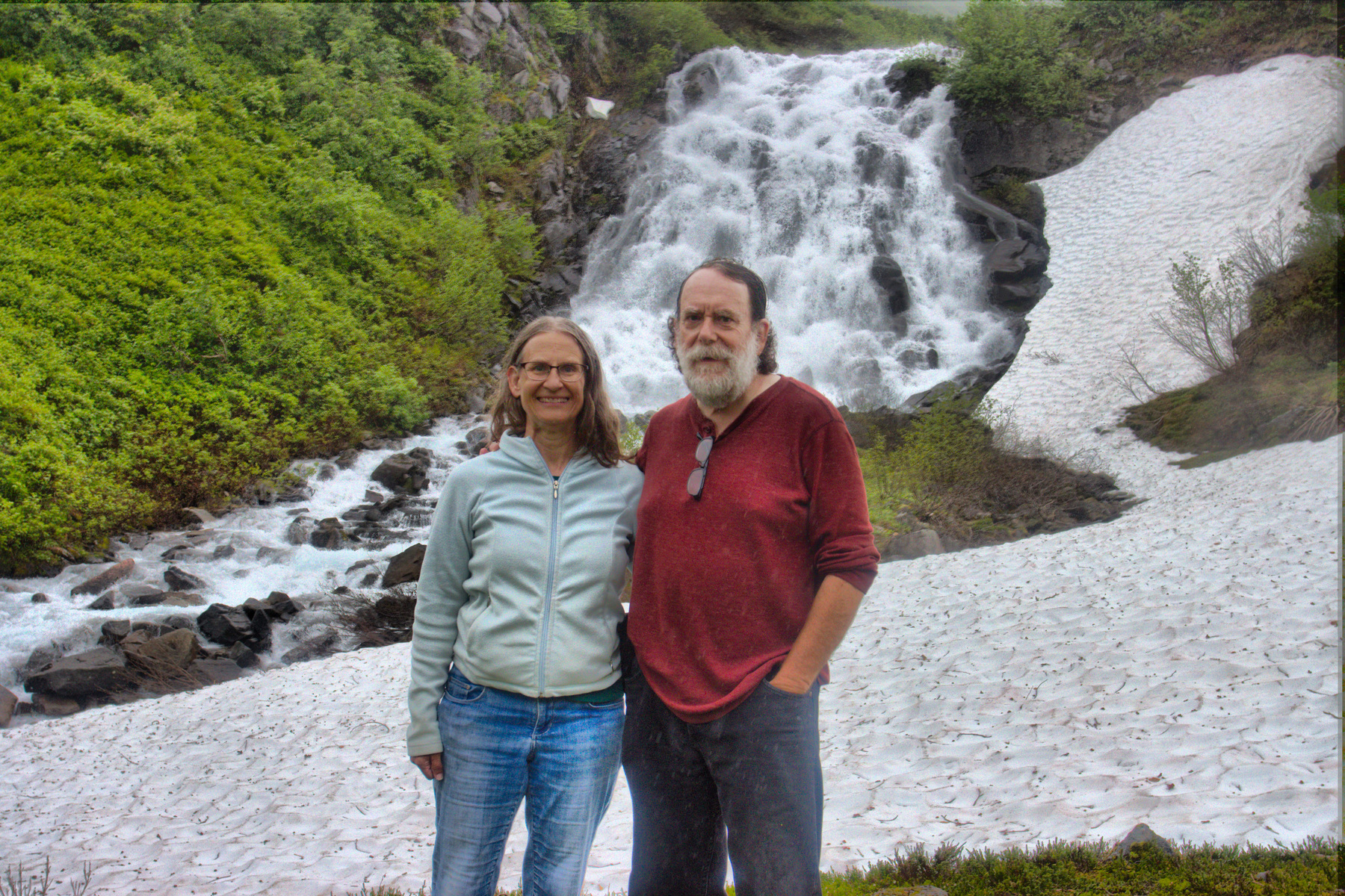
Cathy and Henry in Front of Granite Cataract
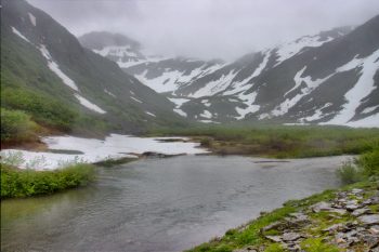
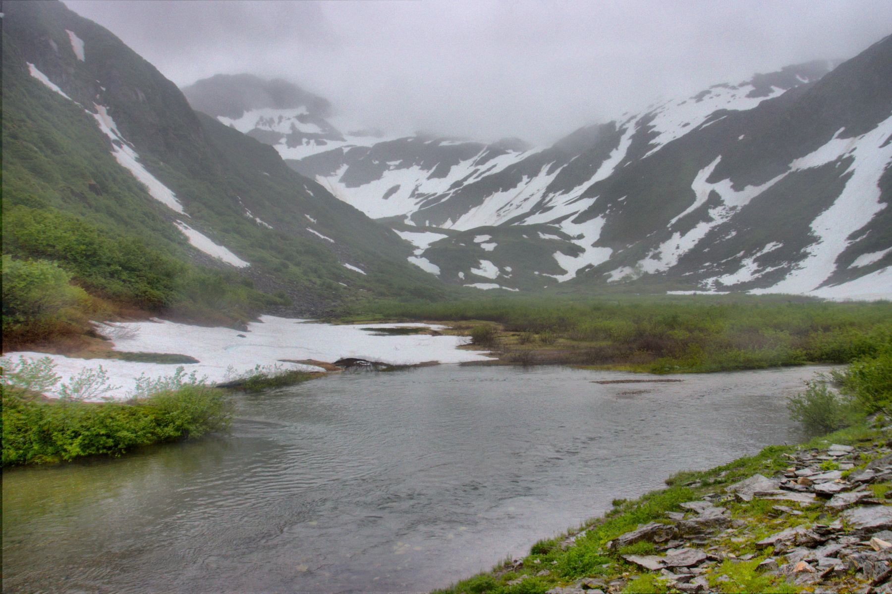
Granite Basin
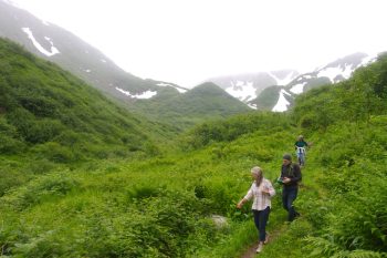
Lisa, Brian, and Cathy Hiking Down from Granite Basin
We took a long hike today. It was overcast and threatening rain but we only actually had a little drizzle for part of the hike. We started at the end of Basin Road. There are two branches at the lower end of the Perseverance Trail. The one we took is shorter but steeper. There is a door covering an entrance to the Ebner Adit and a very cool wind was coming out of it. I found that useful when we returned, because I was fairly warm. The first part of the trail is fairly steep and by the time you get to Ebner Falls, the first photo presented here, you’ve climbed 815 feet in about 0.7 miles, an average grade steeper than 1:5, although parts are closer to 1:3. The trail gets a bit easier at that point. You cross Gold Creek a few times and eventually get to the Granite Basin trail.
We passed a work crew on the trail. The near side of Gold Creek has been undermining the trail a bit so they were building gabions and filling them with rocks to stabilize the bank. It looked like hard work. One of them noticed my camera. I was carrying my 150-600mm zoom with the camera on it, mounted on a monopod. I also had two additional lenses, my 100mm macro and the 17-40mm zoom. She asked, “Are you going on a photo shoot?” Laughing to myself, I said “No, just taking pictures of whatever we see.“ She asked if I wanted to take their picture and when I said I would if they wanted, the all got excited. I took a few shots of them and got an email address to send them to. Oh, they also complemented my hat, which they said was ‘sick’ (which I’m pretty sure they meant as a compliment).
About a mile and a half up that trail, you take the left fork to stay beside Gold Creek. Another 0.6 miles or so and the Granite Basin Trail branches off on the left. This starts with five switchbacks and climbs quite steeply. After that the climb is a bit more moderate. We got to a point where there was a large snow drift covering both the trail and the entire value below the trail, with the stream going under it. Eventually we got to the cataracts below Granite Basin and stopped for a few pictures. We continued up into the basin but didn’t really go much further than that.
We had climbed from about 370 feet to about 1,750 over the course of about 4 miles (and then back again, totaling about 8 miles). It’s a beautiful hike and Granite Basin is really pretty. I remember the first time we hiked there the fireweed was in bloom, which was particularly nice. It’s not the easiest hike in the Juneau area but it’s one of my favorites. If you don’t mind a bit of exercise (and possibly crossing a bit of snow if you aren’t late in the summer) then I highly recommend this hike. It’s not a bad idea to bring water and a snack. The weather can be significantly different in Granite Basin from what it is at the start of the trail.