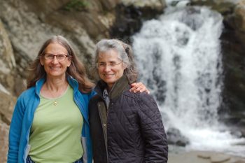
We met up with Jean today for a walk. I found a new place that we’ve drive by without noticing up until now. It’s just into Virginia and right off the Capitol Beltway on Georgetown Pike. The hike was pleasant, although there’s a significant climb both ways down to the river. This waterfall is where Scott’s Run empties into the Potomac River. We also walked a little way down the river before retracing our steps back to the parking area. It’s a nice, quiet place and we really enjoyed it. Of course, that may have been the company, as much as the location. It’s always good to be with Jean.
Tagged With: Hike
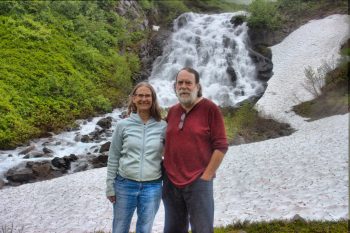
Cathy and Jean at Scott’s Run Falls
Mount Major, New Hampshire
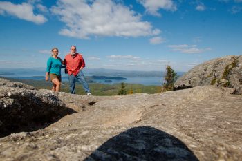
Yesterday’s outing was to a flat location (Plum Island) so we went to the other extreme today. After breakfast we drove up to Mount Major, overlooking Lake Winnipesaukee. The parking lot was full and overflowing but we were fortunate enough to get there just as someone was pulling out so we got a good parking spot. We went up by the Mt. Major Main Trail (1.4 miles, blue blazes) and then down the Boulder Loop trail (1.5 miles, yellow blazes). It’s a fairly steep climb but we managed it without too much trouble. It was certainly worth the effort. The woods below us were not yet at the peak of their fall color. Nevertheless, the view was terrific. I took a 13 shot panorama looking over the lake, which turned out pretty well. We also took a few of the two of us, including this one (with the camera sitting right down on the rocks).
On Mount Roberts
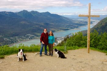
Cathy, Brian, two dogs, and I hiked up Mt. Roberts today. We started from the trailhead on Basin Road (elevation about 280 feet above sea level). The trail goes up pretty steeply but we’ve done it before, so there were no surprises. A few people passed us when we stopped to rest at a log bench but we passed a few others, so we were not the slowest hikers out there.
We made it past the upper station of Goldbelt Tram at about 1,800 feet elevation. We continued up to Father Brown’s Cross, know to Cathy’s family at Muriel’s Cross. Father Brown put up the original cross in 1908 but it has been replaced many times over the years and a bunch of these times were by Cathy’s cousins, who happened to own a lumber yard and hardware store, putting them in a good position to do that. Muriel, Cathy’s aunt, was the matriarch of that branch of the family so they refer to it as Muriel’s Cross.
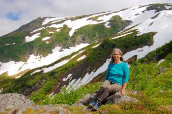
Brian took the first of these photos. Then he and the dogs headed down, running back down the way we came up. He had to pick up Lisa, who had been working. Cathy and I continued higher up and I took quite a few wildflower photos as well as a nice panorama of Mounts Juneau and Roberts.
We took the tram down. They make that harder than they used to do. You must have a receipt from the restaurant or the gift shop for at least $20. But they don’t have it well advertised, so we waited in line and then had to get out of line and wait again. There really isn’t anything we wanted from the gift shop, but they don’t give you the option of simply paying them $20, which seems kind of stupid. My advice would be to look for a receipt left behind by someone who already had a round trip ticket.
The sky was cloudy when we headed up but it got clearer as we went up. I should have worn a short sleeve shirt and was quite warm in flannel. Nevertheless, we really enjoyed ourselves. This is one of our favorite hikes, even though it’s steep and it is one of the more crowded trails, especially above the tram. It’s worth it, especially when the sky is clear. The view is wonderful.
Granite Basin Hike
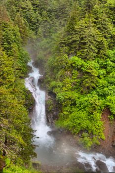
We took a long hike today. It was overcast and threatening rain but we only actually had a little drizzle for part of the hike. We started at the end of Basin Road. There are two branches at the lower end of the Perseverance Trail. The one we took is shorter but steeper. There is a door covering an entrance to the Ebner Adit and a very cool wind was coming out of it. I found that useful when we returned, because I was fairly warm. The first part of the trail is fairly steep and by the time you get to Ebner Falls, the first photo presented here, you’ve climbed 815 feet in about 0.7 miles, an average grade steeper than 1:5, although parts are closer to 1:3. The trail gets a bit easier at that point. You cross Gold Creek a few times and eventually get to the Granite Basin trail.
We passed a work crew on the trail. The near side of Gold Creek has been undermining the trail a bit so they were building gabions and filling them with rocks to stabilize the bank. It looked like hard work. One of them noticed my camera. I was carrying my 150-600mm zoom with the camera on it, mounted on a monopod. I also had two additional lenses, my 100mm macro and the 17-40mm zoom. She asked, “Are you going on a photo shoot?” Laughing to myself, I said “No, just taking pictures of whatever we see.“ She asked if I wanted to take their picture and when I said I would if they wanted, the all got excited. I took a few shots of them and got an email address to send them to. Oh, they also complemented my hat, which they said was ‘sick’ (which I’m pretty sure they meant as a compliment).
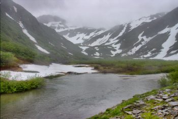
About a mile and a half up that trail, you take the left fork to stay beside Gold Creek. Another 0.6 miles or so and the Granite Basin Trail branches off on the left. This starts with five switchbacks and climbs quite steeply. After that the climb is a bit more moderate. We got to a point where there was a large snow drift covering both the trail and the entire value below the trail, with the stream going under it. Eventually we got to the cataracts below Granite Basin and stopped for a few pictures. We continued up into the basin but didn’t really go much further than that.
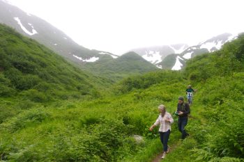
We had climbed from about 370 feet to about 1,750 over the course of about 4 miles (and then back again, totaling about 8 miles). It’s a beautiful hike and Granite Basin is really pretty. I remember the first time we hiked there the fireweed was in bloom, which was particularly nice. It’s not the easiest hike in the Juneau area but it’s one of my favorites. If you don’t mind a bit of exercise (and possibly crossing a bit of snow if you aren’t late in the summer) then I highly recommend this hike. It’s not a bad idea to bring water and a snack. The weather can be significantly different in Granite Basin from what it is at the start of the trail.
Rainforest Walk
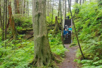
Cathy, Brian and I took a walk with the dogs through Switzer Meadow and then on a loop beyond Dzantik’i Heeni Middle School. Most of that later trail is in the woods, some of which is relatively young. The whole area was probably clear cut less than 100 years ago, so there are few if any trees older than that. Some areas seem to be pretty scrubby and one area looked like it was a homeless camp or party spot not too many years ago. It’s hard to tell because wood decomposes very quickly in this wet environment. It’s still a pretty walk for the most part and we enjoyed being out with the dogs.

