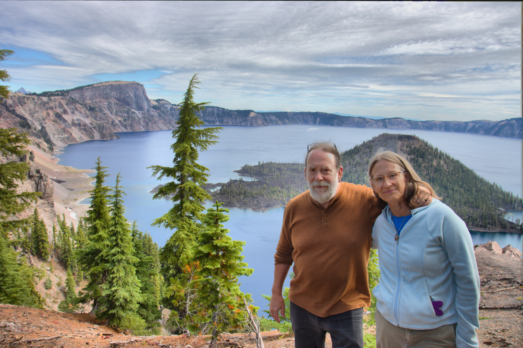
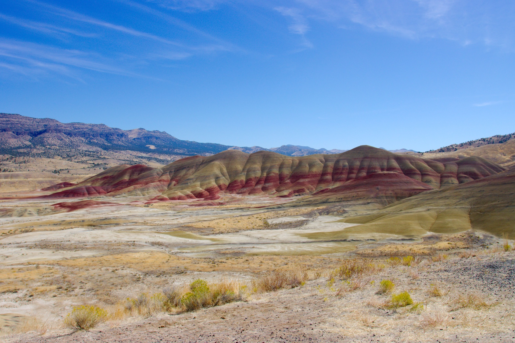
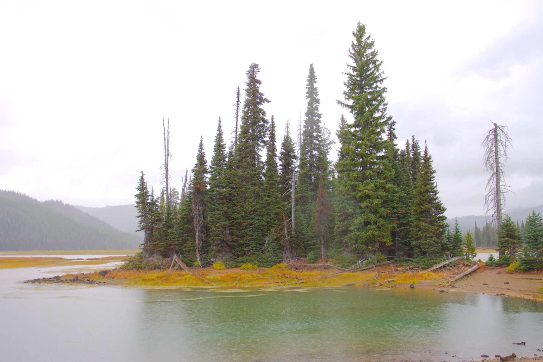
Henry and Cathy at Crater Lake

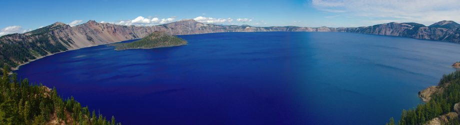
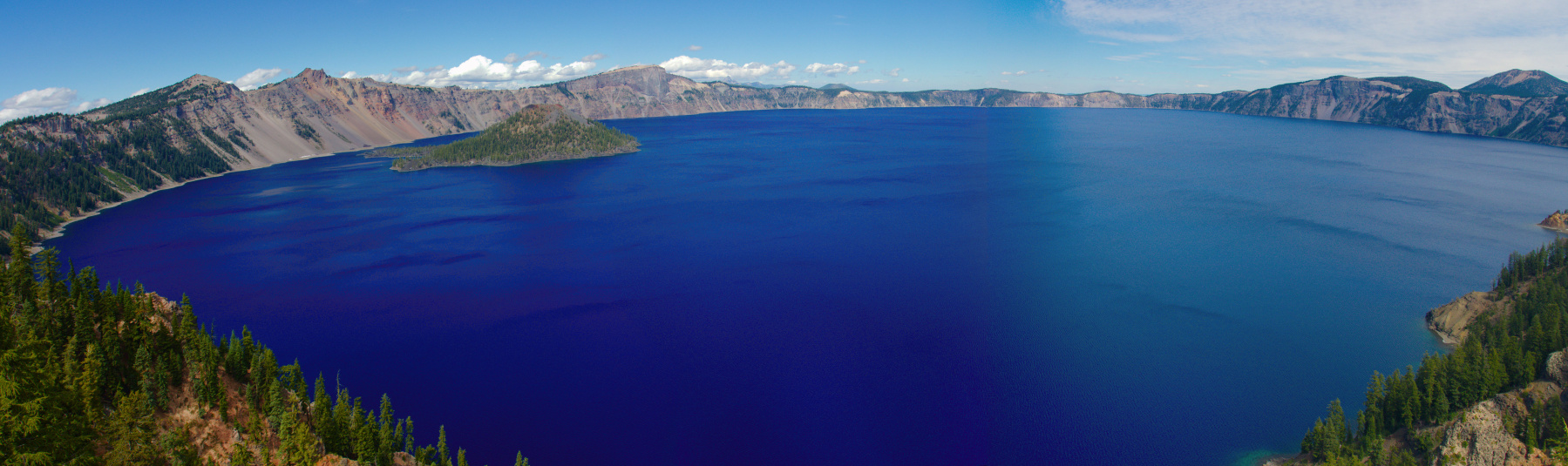
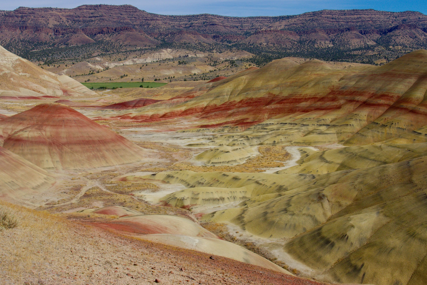
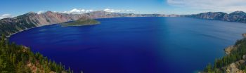
Crater Lake
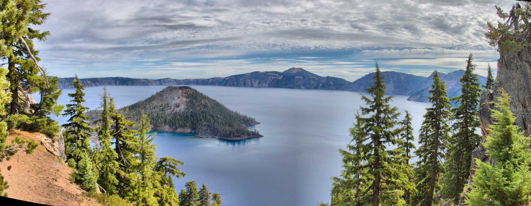
Crater Lake
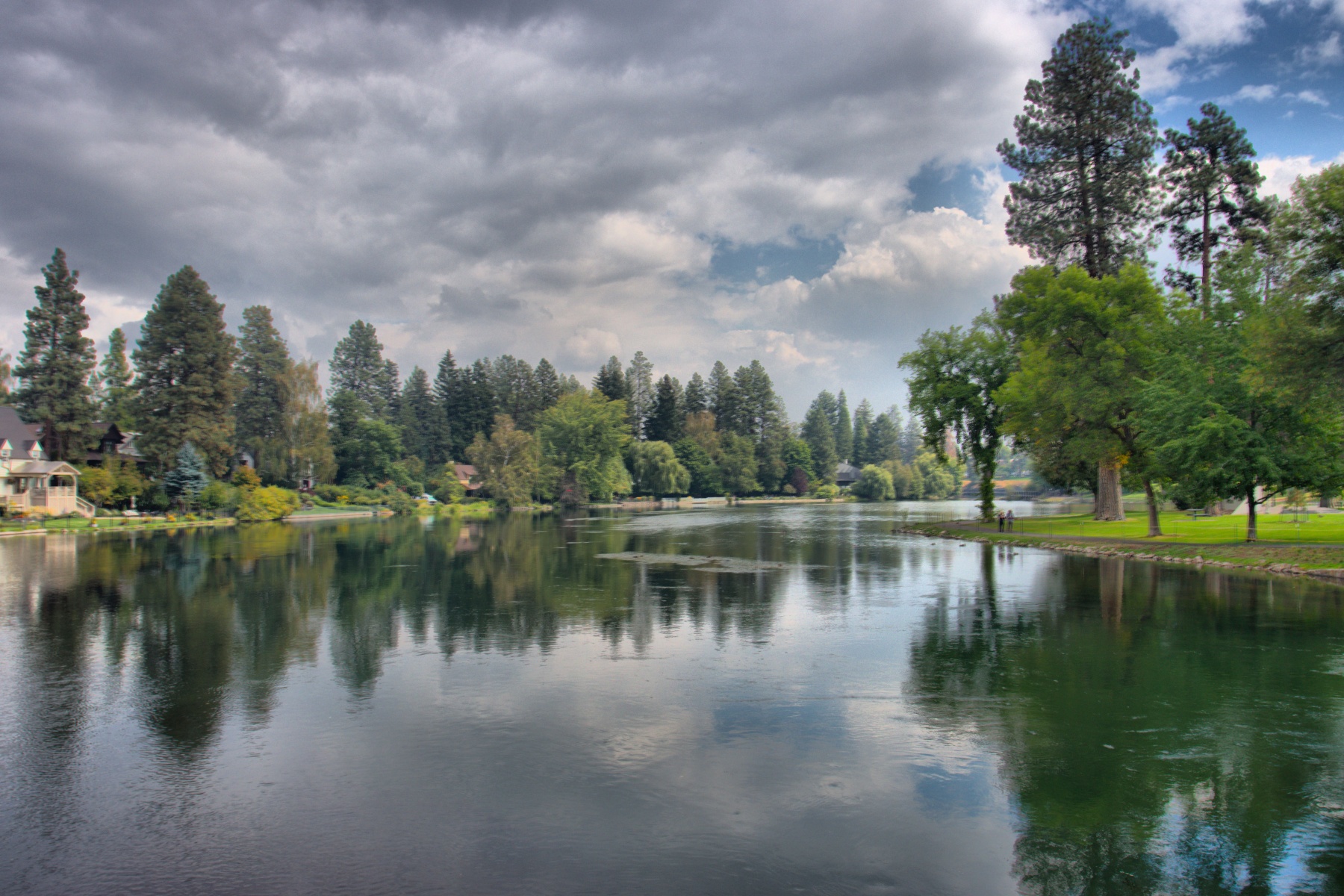
On the Saturday of our first weekend in central Oregon, we drove down to Crater Lake, about 85 miles (as the crow flies and about 100 miles by road) southsouthwest of Bend, where we were staying. When we got there, we found that the eastern half of the circling road was closed until 4:00 PM to motorized vehicles due to a bicycle event. We were told that we might not be able to find a parking spot, but “have a nice visit”.
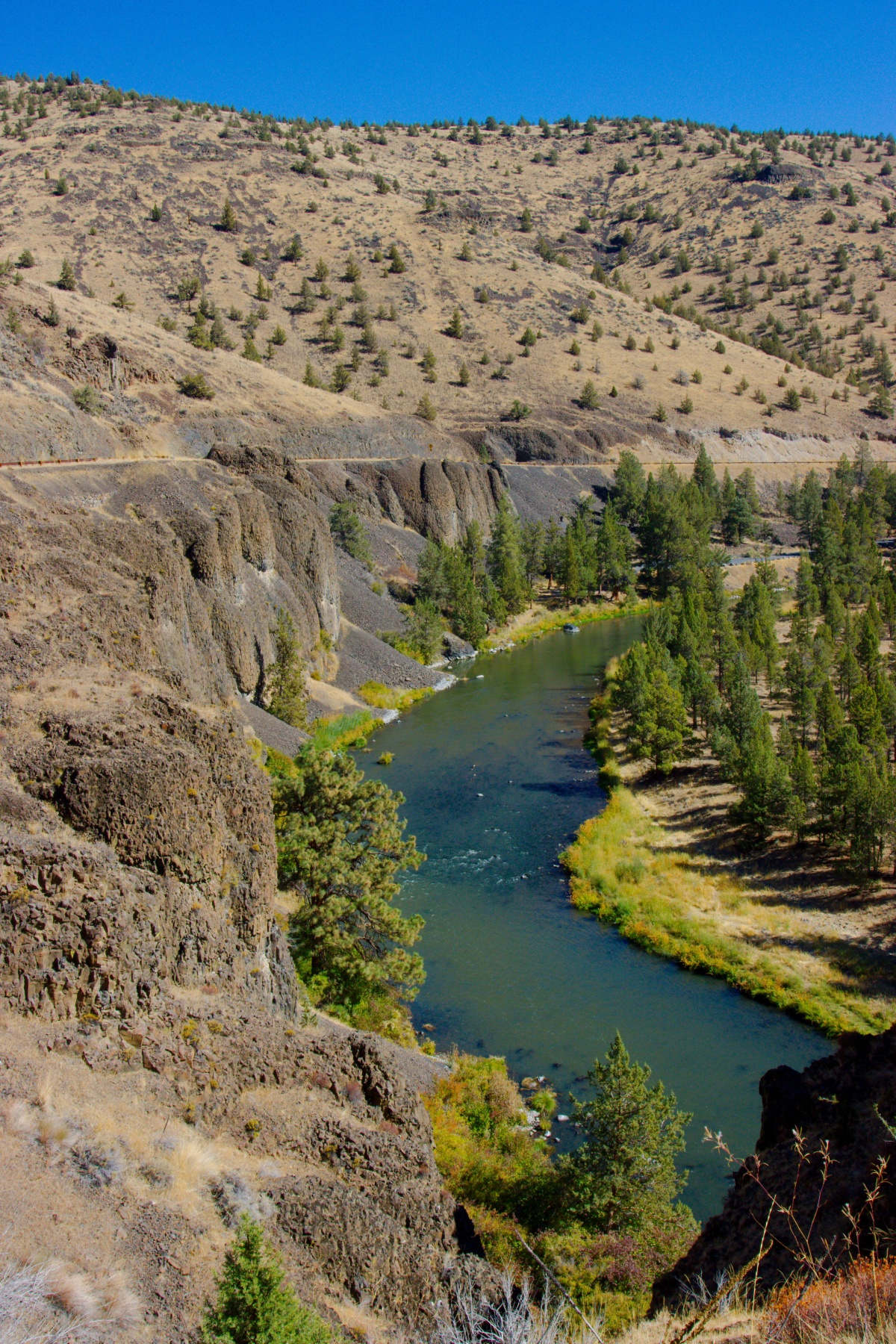
As it turned out, we had a nice visit and found parking, although not at first. We found a spot on the western section of Rim Drive and walked on the Rim Trail. That’s where we got our first really good look at the crater and its lake. It’s also where the first two photos presented here were taken. The sun was to the southeast and there was a bit of glare on the lake surface, making it seem less blue that it did later, when we were on the south rim near the Crater Lake Lodge, from whence we could see it in all it’s blue splendor (as in the third photo).
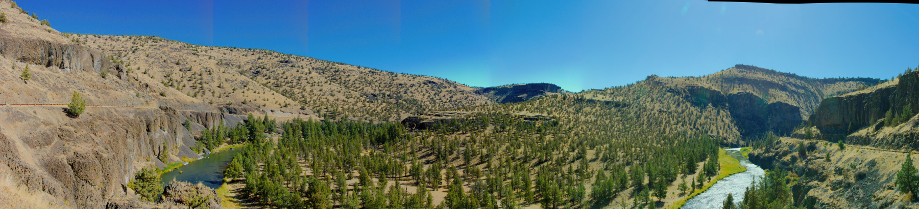
The first twp of these photos are three-shot HDR images. The second and third are both composite panoramas, stitched together with Hugin – Panorama photo stitcher, which I cannot recommend enough. If you ever get the chance to visit Crater Lake, I seriously recommend it. We spent the better part of a day there, even driving part of the eastern half of the Rim Road after it opened. It was still closed between Skell Head and Phantom Ship Overlook for construction, so we were not able to drive all the way around.