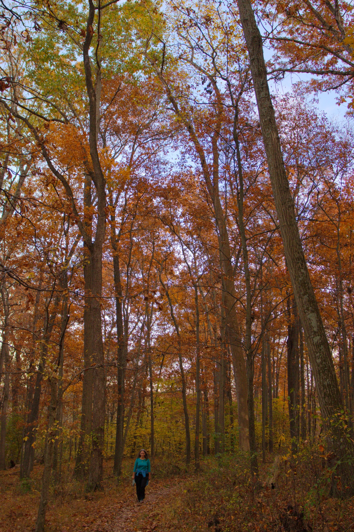
Cathy on Seneca Bluffs Trail
We decided to take a walk on the Seneca Bluffs Trail today, heading downstream from where Seneca Creek goes under Maryland Route 28 (Darnestown Road). We walked about 2.3 miles each way, which was farther than I expected we’d go. For the most part this section of trail is not near the creek. At a few points you can see out into the fields that are on Sugarland Road. The trail has some ups and downs, reaching an elevation of just under 300 feet above sea level, from a low point about 90 feet lower. At one point the trail goes through a stand of eastern red cedar (Juniperus virginiana), which is quite different to the surrounding deciduous oak, hickory, and tulip poplar. I’m not sure I’d do this section again unless I made plans to go all the way to Rocklands Farm, another eight tenths of a mile from where we got. If we had a car at both ends then that would have been very nice.