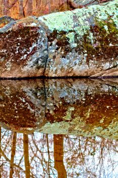
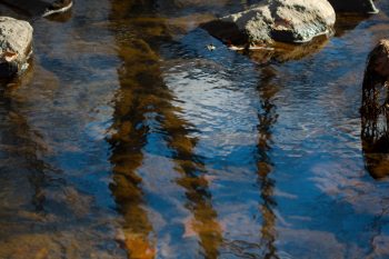
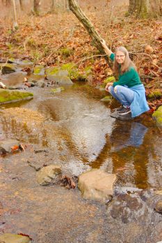
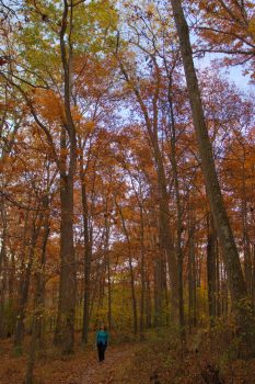
After dropping off the Operation Christmas Child boxes we went to the library to return some books and to get a few more. Then because it was such a beautiful day, we decided to take a walk in the park. We drove to the parking area at the park so that half our walking wouldn’t be on neighborhood streets and we could get into the woods right away. It’s been quite rainy this fall and the trail was muddy in places but we managed to get through without getting too wet. I brought my camera, of course and took a fair number of pictures. This large rock on the side of Manor Run marks the spot where you can cross. Just downstream from here the stream is shallow and there are rocks that you can cross on. I think this picture turned out well. As we went around the rock there were three deer grazing and I got some pictures of them, as well. They kept an eye on us but didn’t seem particularly alarmed. We got within about 20 feet of them.
Tagged With: Creek
Watts Branch Tributary
This is a small tributary of Watts Branch, which comes through a culvert under West Montgomery Avenue (before it becomes Key West Avenue). On the other side of the road is a small drainage pond build for storm water management and in which there were beavers living until a few years ago. It joins a larger creek that flows through another storm water management pond between my cuilding and the rest of our company’s campus. It goes back under West Montgomery Avenue again before draining into Watts Branch near the Interstate 270 interchange.
Black Rock Mill
This morning, when I went to take pictures off my camera’s memory card, it started with December 25. The last pictures on my computer had been from December 23 and for a little while I worried that I hadn’t taken any on the 24th. That wouldn’t have been the end of the world, of course, but I’ve gone nearly eight years taking at least one picture a day and I was upset to think that I might have missed a day. It turns out that the script I use to copy files started in the wrong place for some reason and I had pictures from the 24th (which I thought was the case).
I worked on Monday and again yesterday but today I decided to take the day off. Dorothy and I went to the Lancaster County Dutch Market in Germantown and then to Black Rock Mill, on Seneca Creek.
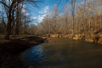
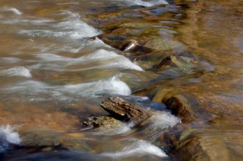
The first picture is looking downstream from the the banks of the creek, standing just below the mill. As you can see, it was a beautiful, cool day. The second picture is just a small bit of rapids in the creek. I think it’s a pretty picture and I love the colors of the water, as they tumble over a few small rocks. I took a few pictures of the mill, as well, and if you’ve never been there, it’s an interesting piece of history. There isn’t a lot to see, but the mill stone and some of the large gears are still there inside the building, which is otherwise basically an empty shell.
Cathy
Last year I posted my final photo-a-day photo after ten years of taking at least one picture every day. That photo, like the first ten years earlier, was of Cathy on a walk we took on the North Branch Rock Creek, leaning against a large sycamore tree. We actually took the same walk today, a year later. The Kengla trail runs from the Kengla House, which is across the street from the entrance to Meadowside Nature Center, north to and under the Intercounty Connector (the ICC, MD 200). There it meets the Rock Creek trail, which crosses the creek. We took the right hand side—we didn’t cross the creek—and followed that up a side creek past a large drainage pond to the Norbeck Meadows Neighborhood Park, between Valley Forge Drive and Custis Drive, both off of George Washington Drive, a little further than we went on last year’s walk. It’s a nice walk and fairly easy.
Our favorite spot is a small side creek that has two, very large sycamores growing on the bank, with the creek going between them. The photo of Cathy I posted on December 31 last year was taken there and took a few more of her there again today. The first of them is Cathy just above where the two trees are and the second is standing next to the tree on the southern side of the small creek. I’m pretty pleased with them both.
This year has been a challenge and I don’t think I need to elaborate on why. The restrictions imposed in response to the SARS-CoV-2 pandemic have become quite tiresome. We continue to work mostly from home, although we both go to the office now and then. I try to shop for groceries early on Sunday morning when the store is least crowded (not least because I simply dislike crowds). We have tried to get out and walk as much as possible and did that most weekends. We also managed to get away for a few days, as you may remember from early October. We’re surviving, obviously, but there are times when we just want to take a break from it all. Nevertheless, we continue to soldier on as best we can. Here’s to a better year in 2022.
God bless you all.
Seneca Creek Bluffs Trail
We decided to take a walk on the Seneca Bluffs Trail today, heading downstream from where Seneca Creek goes under Maryland Route 28 (Darnestown Road). We walked about 2.3 miles each way, which was farther than I expected we’d go. For the most part this section of trail is not near the creek. At a few points you can see out into the fields that are on Sugarland Road. The trail has some ups and downs, reaching an elevation of just under 300 feet above sea level, from a low point about 90 feet lower. At one point the trail goes through a stand of eastern red cedar (Juniperus virginiana), which is quite different to the surrounding deciduous oak, hickory, and tulip poplar. I’m not sure I’d do this section again unless I made plans to go all the way to Rocklands Farm, another eight tenths of a mile from where we got. If we had a car at both ends then that would have been very nice.

