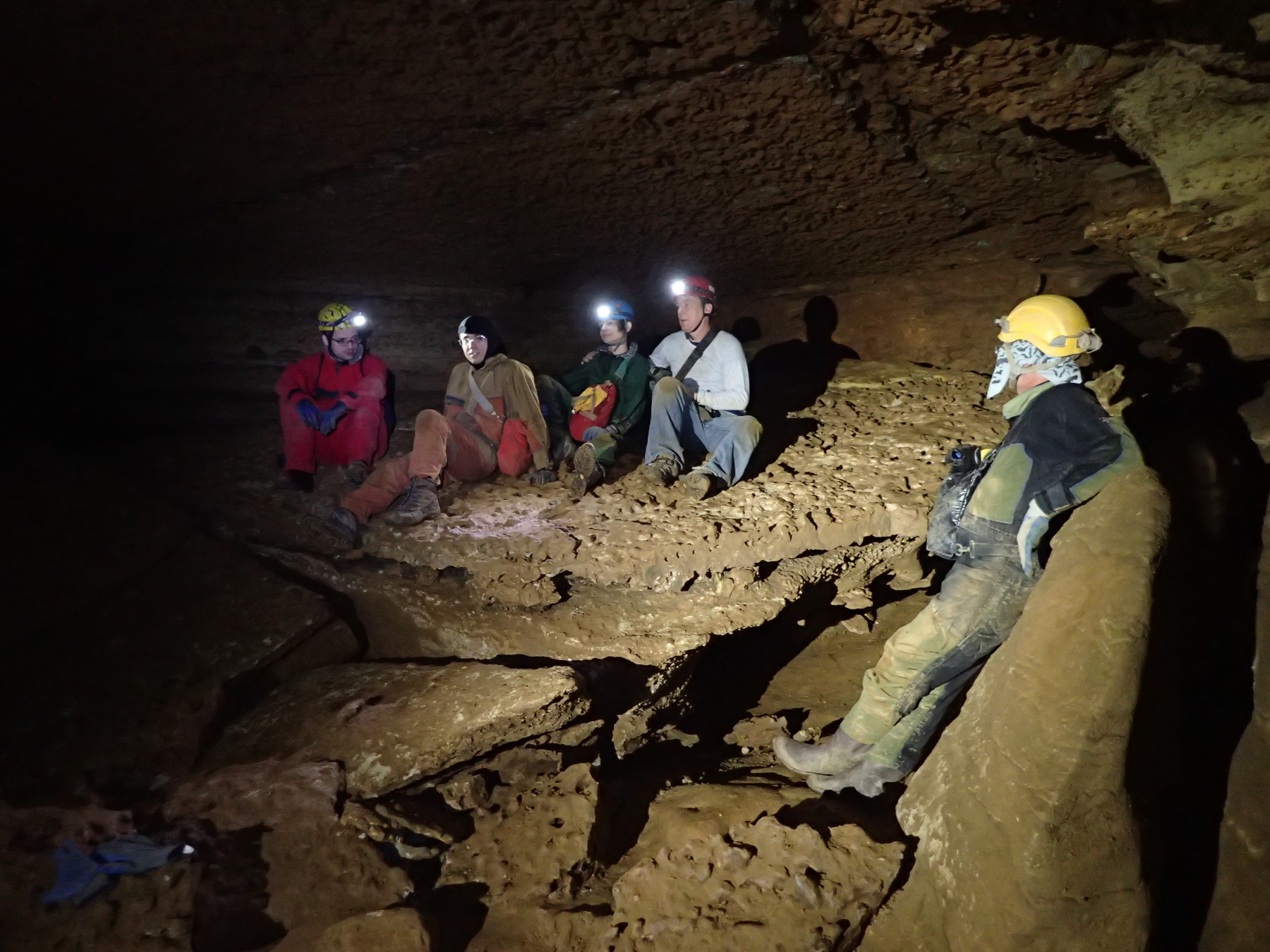
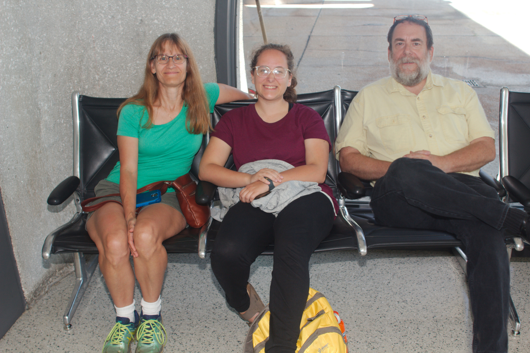
Seth, Stephen, Carmela, George, and Ralph in the Slab Room
As mentioned in yesterday’s post, we drove to West Virginia and spent the night at the PSC Field House in the North Form Mountain area. We got a reasonable night’s sleep and after a hearty breakfast, six of us headed off the Hamilton Cave. Ralph and Stephen are both experienced cavers but the rest of us were beginners. We’ve all been in the big, commercial caverns like Luray or Carlsbad (although I’d really like to see Carl’s Good cavern!). I’ve been in a reasonable number of caves in the USA, France, England, Greece, and Slovakia (although it was Czechoslovakia at the time). But this was the first time in a cave such as this. Hamilton cave has a pretty good maze of passages and I’m certainly glad we had two people who knew their way around.
Seth in Hamilton Cave
After checking in at The Register, we made our way to our first goal, the Slab Room. This is named for the large slab of rock that fell in the distant past (well, probably recent in geologic terms, but it was more than a few years ago). Getting here involved passages where we had to crawl on all fours and a couple stretches where I had to take off my small day pack and push it in front of me while I slithered along on my front in what I know as an army crawl. You know the one, where you are lying prone and you pull yourself along with your elbow and push with your knees. It can be fairly tiring, especially for someone carrying extra weight and with not-terribly-strong arms. But we all made it through. There were other places where we could walk upright and they were very welcome, I can tell you.
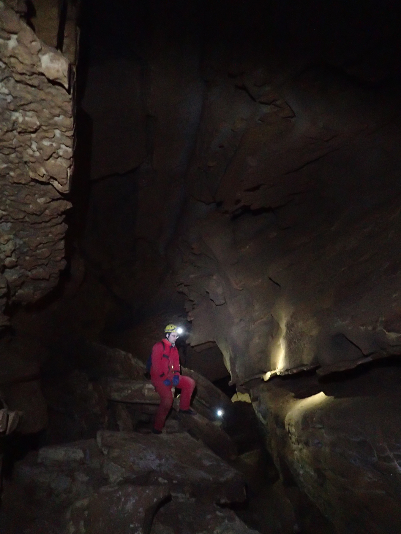
There was an even tighter spot than those the required an army crawl. There is one place where the passage gets fairly narrow between two smooth, nearly vertical rocks. They are closest together at just the wrong height from the ground for someone about my height and with a larger than necessary midsection. If you know what i mean.

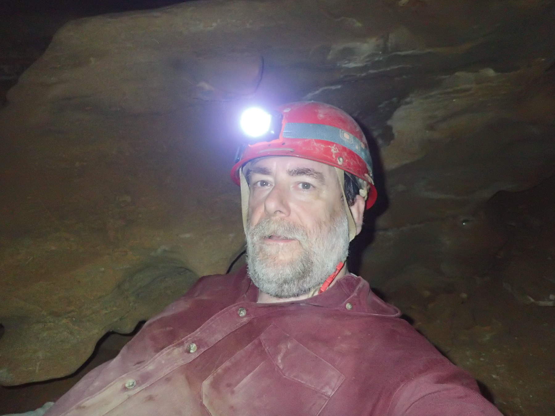
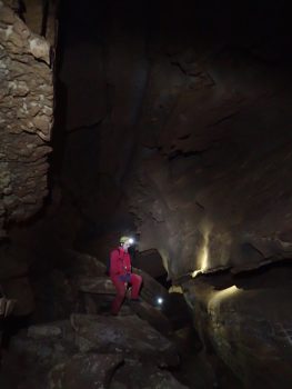
Self Portrait, Hamilton Cave
It was not quite Winnie-the-Pooh in Rabbit’s Hole but it was tight. Fortunately they didn’t hang dish towels on my legs. Getting through that required getting up on my toes so my largest part was a little higher than the tightest part, and then getting a bit of a push from Stephen. The second picture here is further into the cave than that tightish bit. It shows Seth sitting in a fairly large room as the others made their way up behind him. The last picture was actually taken between the other two. I don’t often take selfies but I thought in this case I would. So, that’s me in my caving gear. Looks as though I’ve been crawling in the dirt, doesn’t it?
As you can probably guess by the fact that I’m posting this, I made it out. We all had a good time and were certainly glad we went. I will confess to being glad to see the sunlight again and to be able to stand up without worrying about hitting my head on a rock.