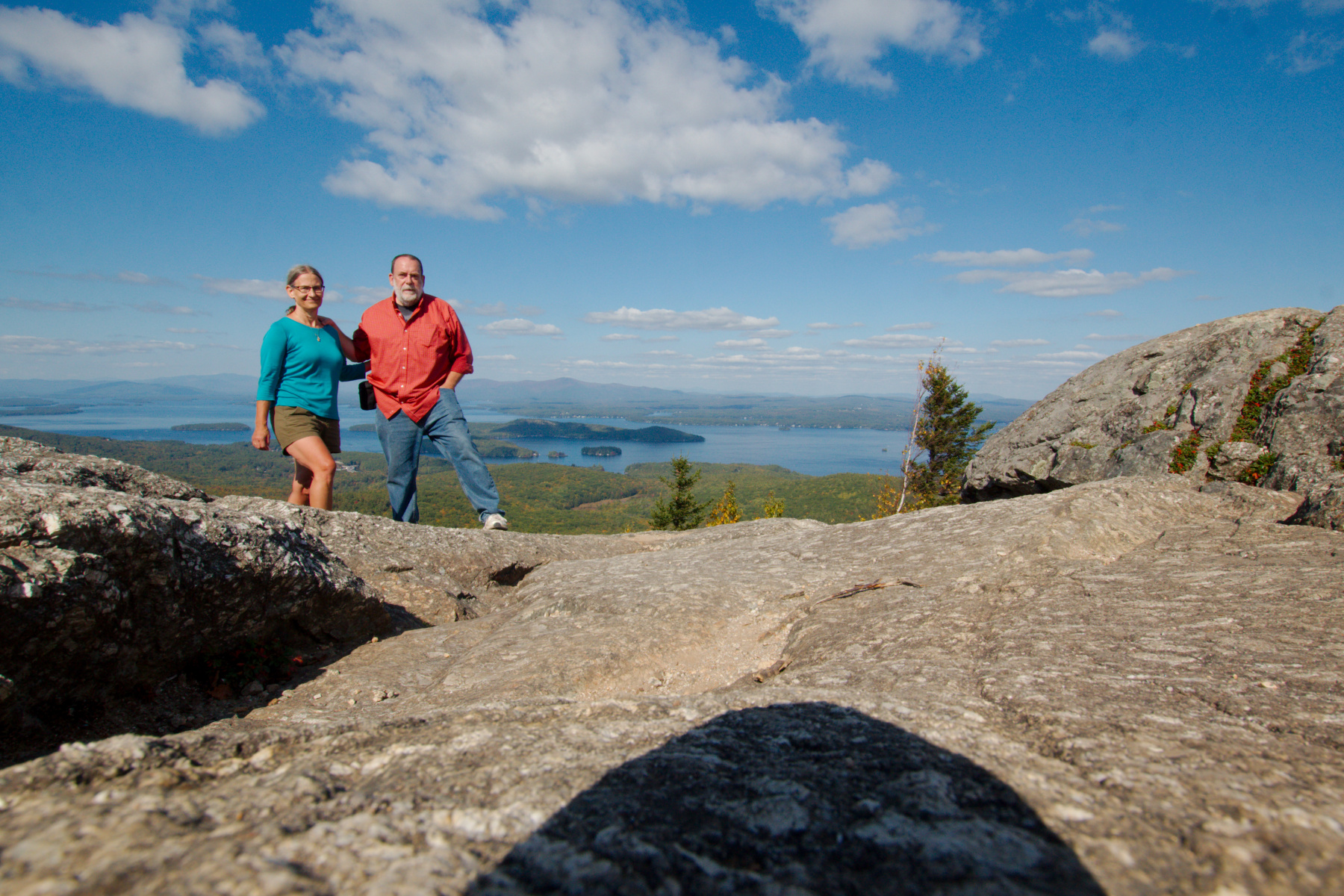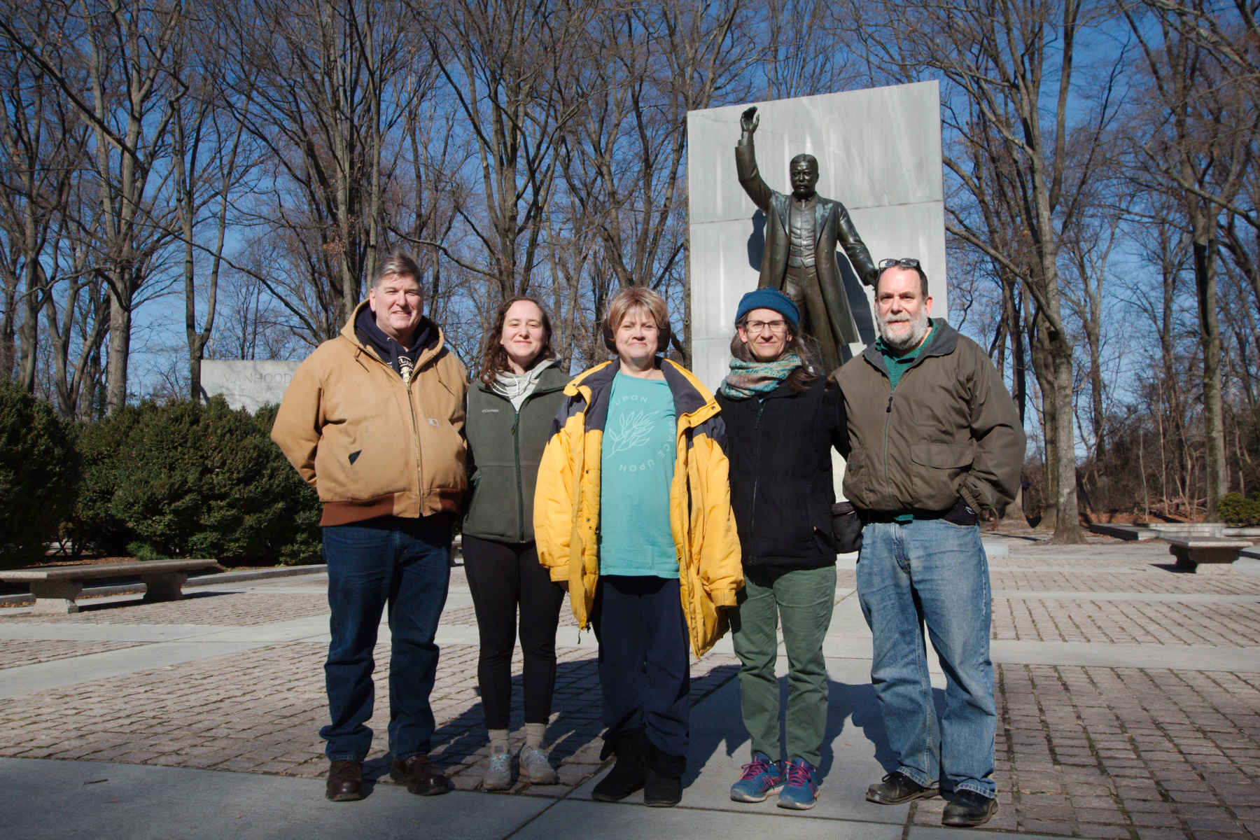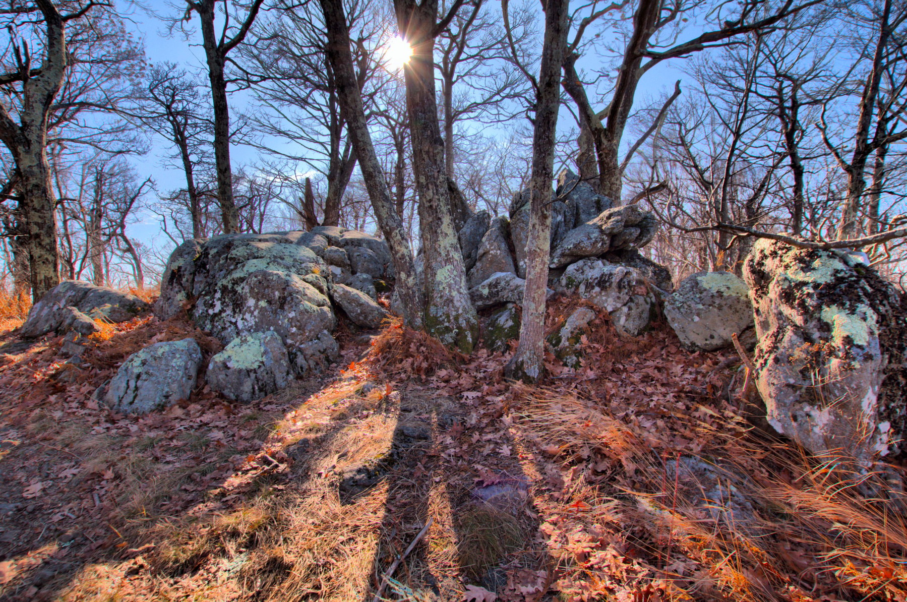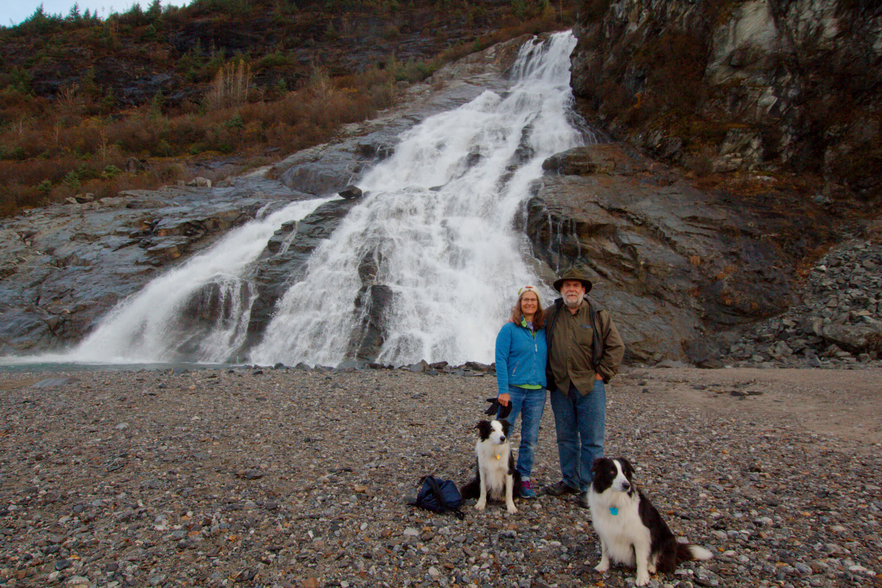
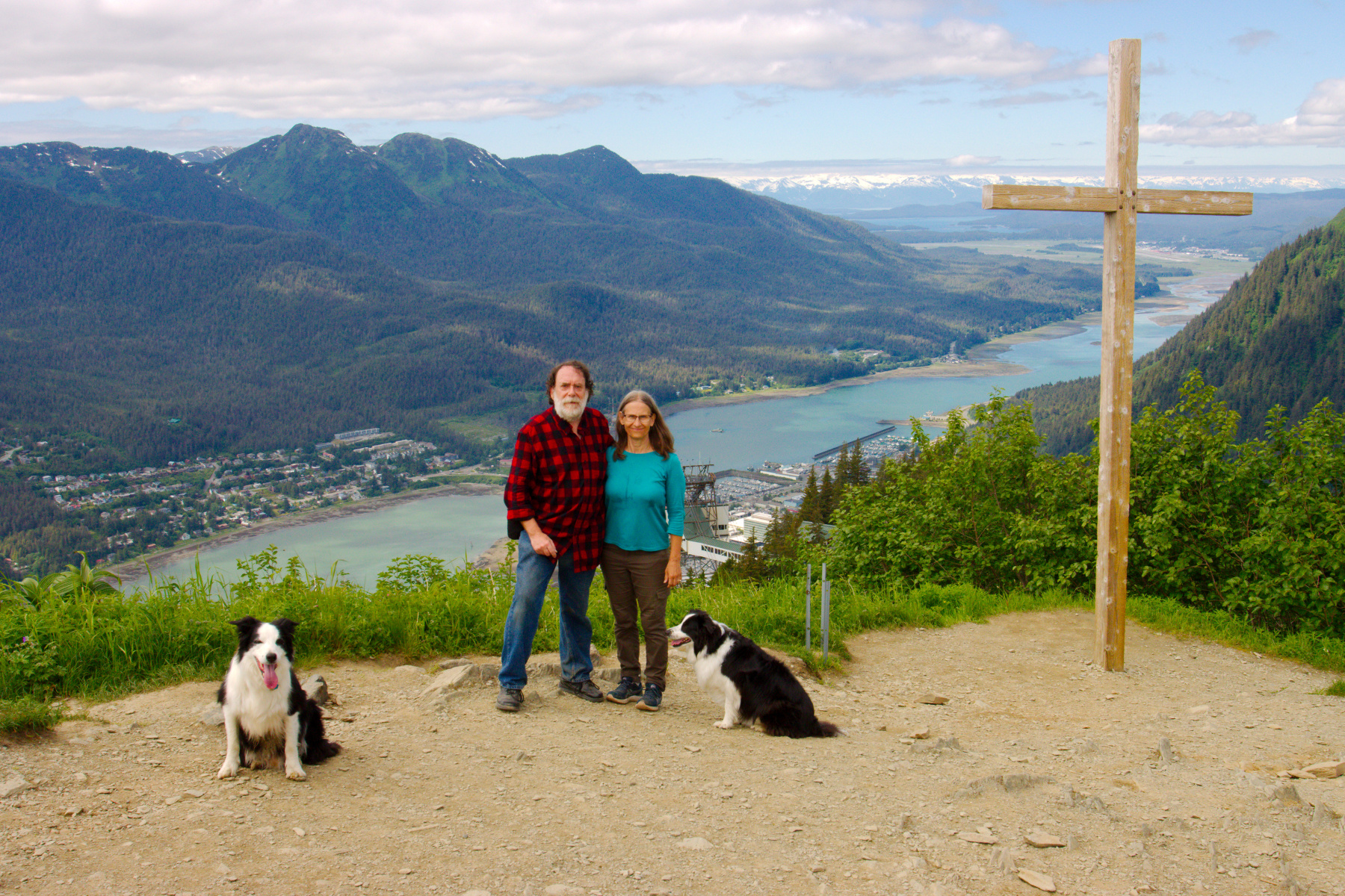
Henry, Cathy, and the Dogs at Father Brown’s Cross, Mt. Roberts
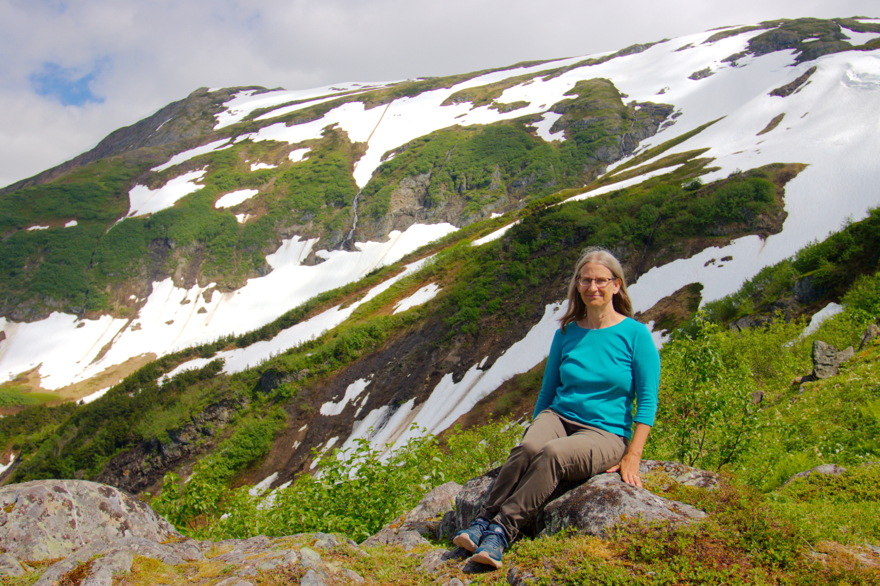
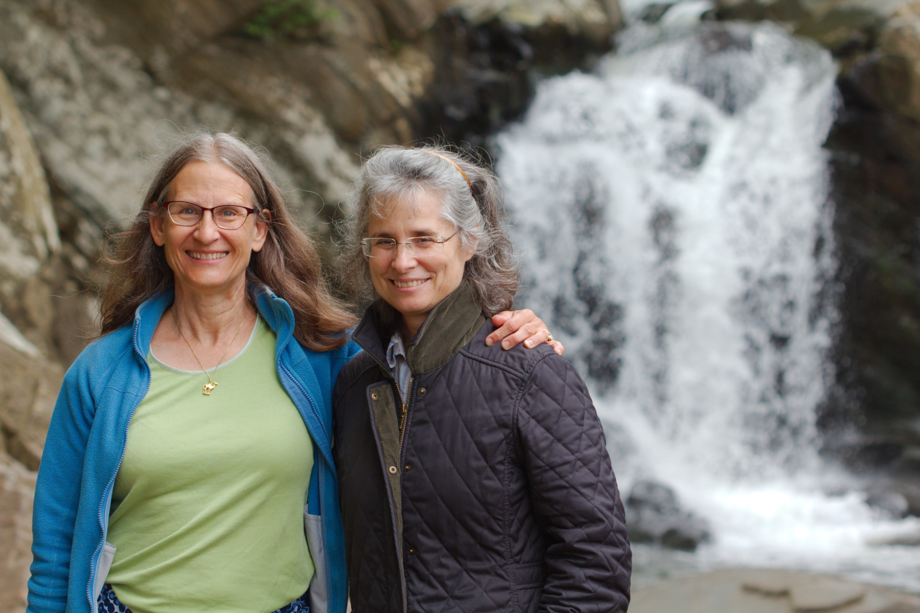
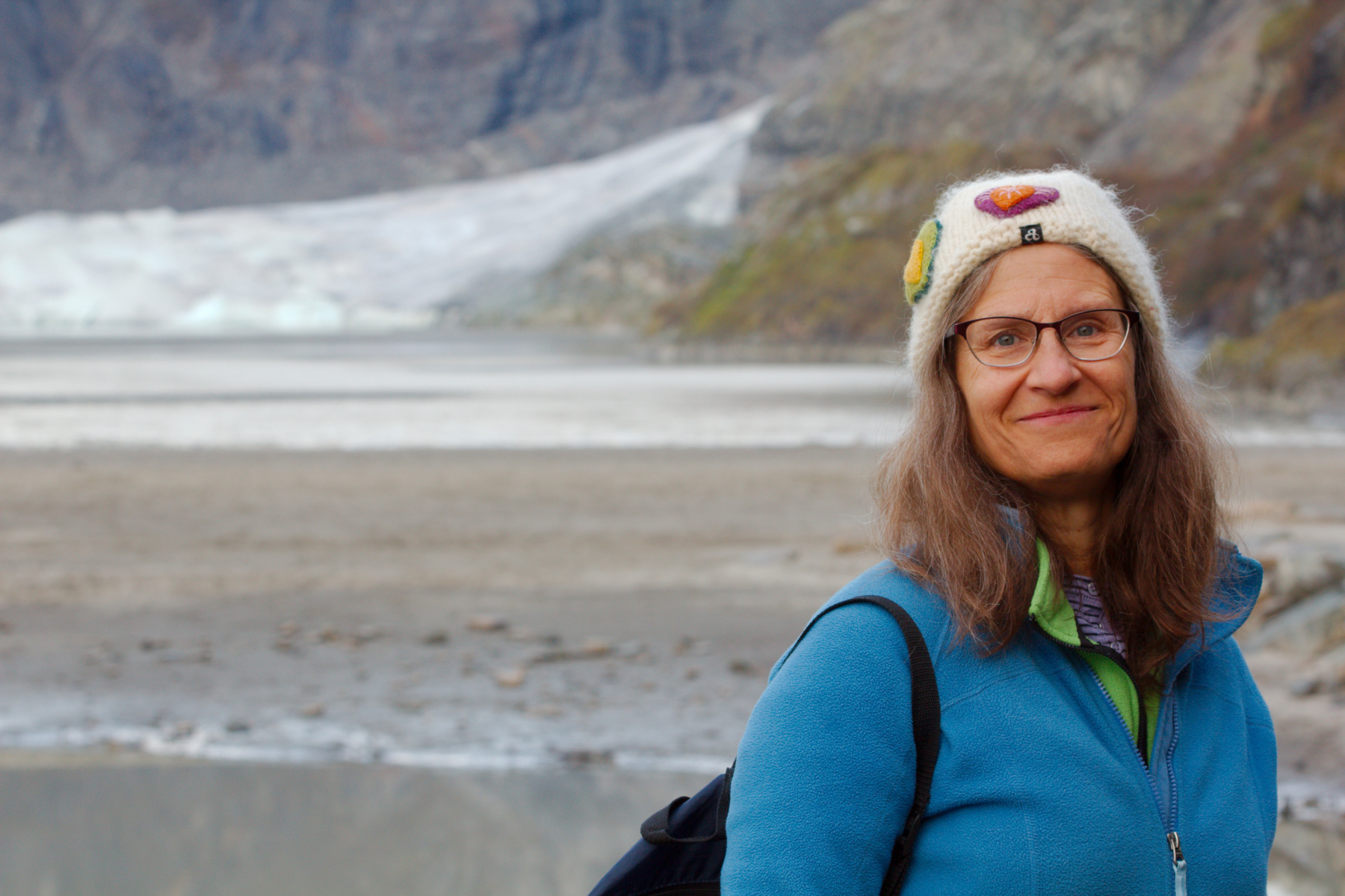
Cathy on Mount Roberts
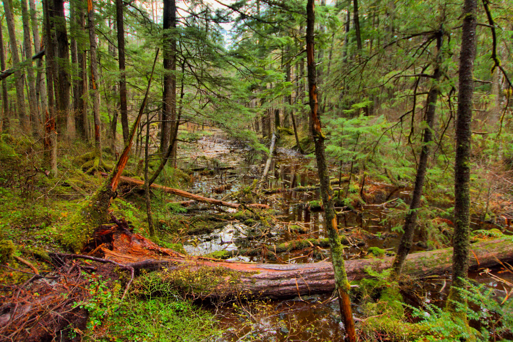
Cathy, Brian, two dogs, and I hiked up Mt. Roberts today. We started from the trailhead on Basin Road (elevation about 280 feet above sea level). The trail goes up pretty steeply but we’ve done it before, so there were no surprises. A few people passed us when we stopped to rest at a log bench but we passed a few others, so we were not the slowest hikers out there.
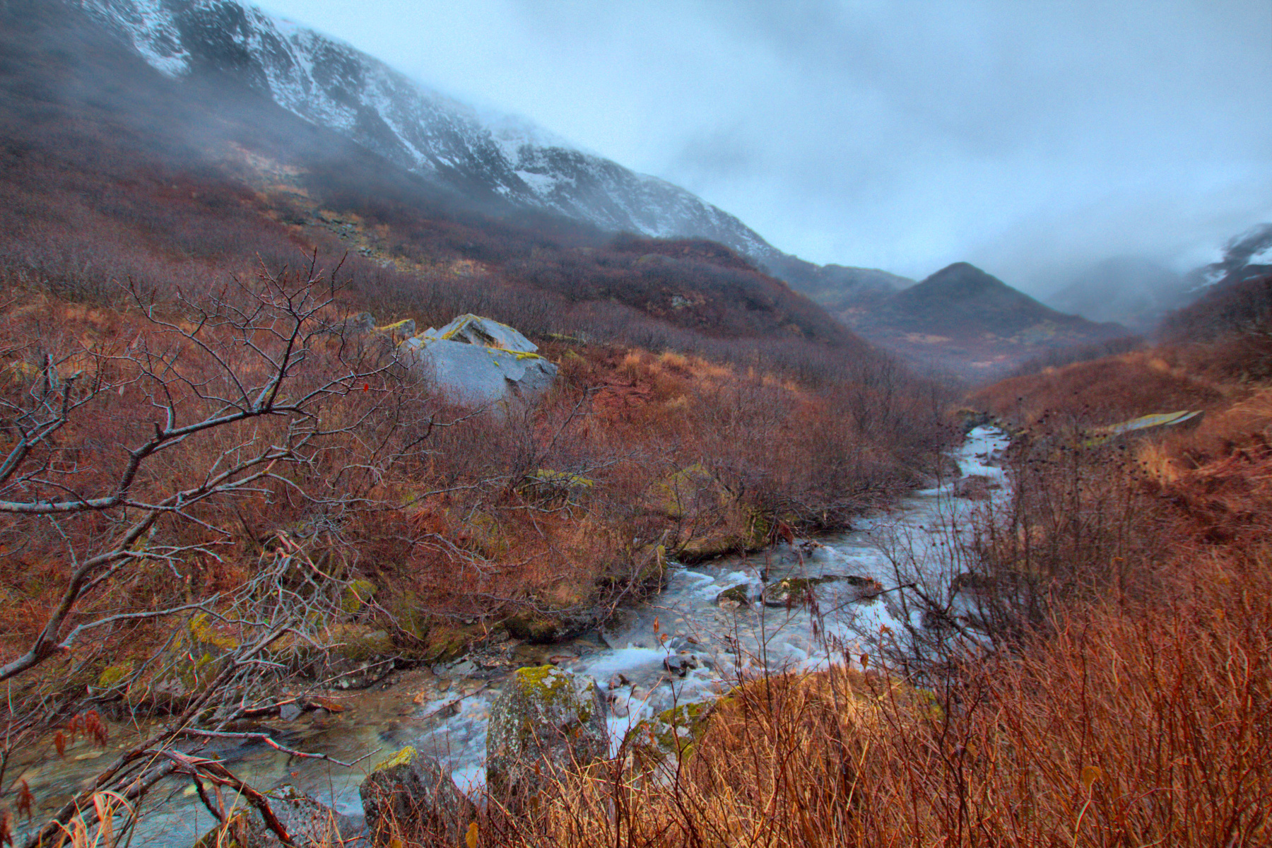
We made it past the upper station of Goldbelt Tram at about 1,800 feet elevation. We continued up to Father Brown’s Cross, know to Cathy’s family at Muriel’s Cross. Father Brown put up the original cross in 1908 but it has been replaced many times over the years and a bunch of these times were by Cathy’s cousins, who happened to own a lumber yard and hardware store, putting them in a good position to do that. Muriel, Cathy’s aunt, was the matriarch of that branch of the family so they refer to it as Muriel’s Cross.
Brian took the first of these photos. Then he and the dogs headed down, running back down the way we came up. He had to pick up Lisa, who had been working. Cathy and I continued higher up and I took quite a few wildflower photos as well as a nice panorama of Mounts Juneau and Roberts.
We took the tram down. They make that harder than they used to do. You must have a receipt from the restaurant or the gift shop for at least $20. But they don’t have it well advertised, so we waited in line and then had to get out of line and wait again. There really isn’t anything we wanted from the gift shop, but they don’t give you the option of simply paying them $20, which seems kind of stupid. My advice would be to look for a receipt left behind by someone who already had a round trip ticket.
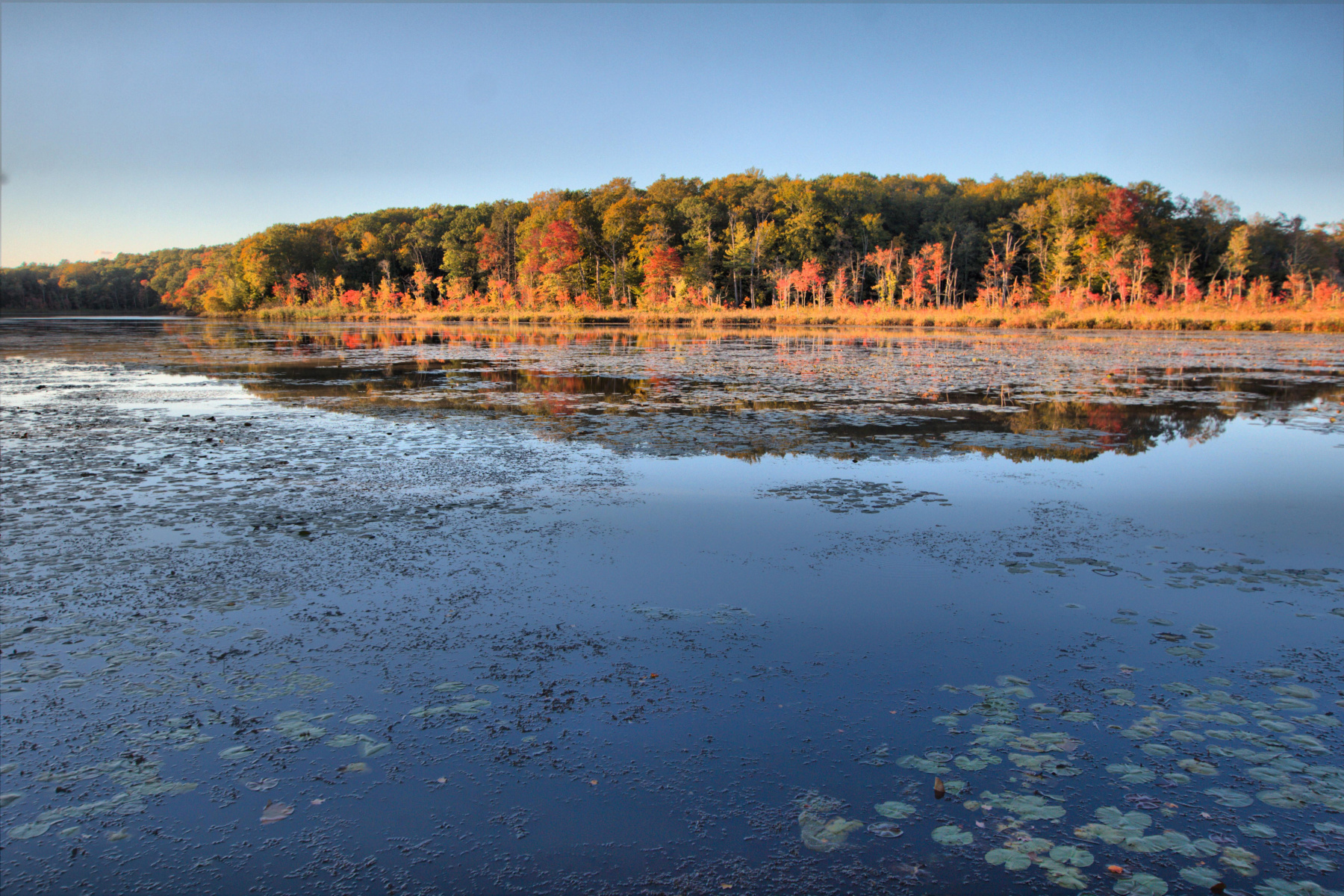
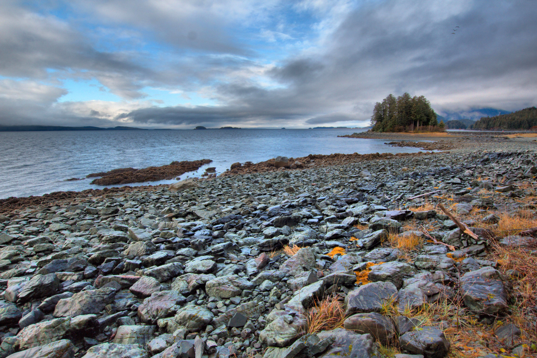
The sky was cloudy when we headed up but it got clearer as we went up. I should have worn a short sleeve shirt and was quite warm in flannel. Nevertheless, we really enjoyed ourselves. This is one of our favorite hikes, even though it’s steep and it is one of the more crowded trails, especially above the tram. It’s worth it, especially when the sky is clear. The view is wonderful.