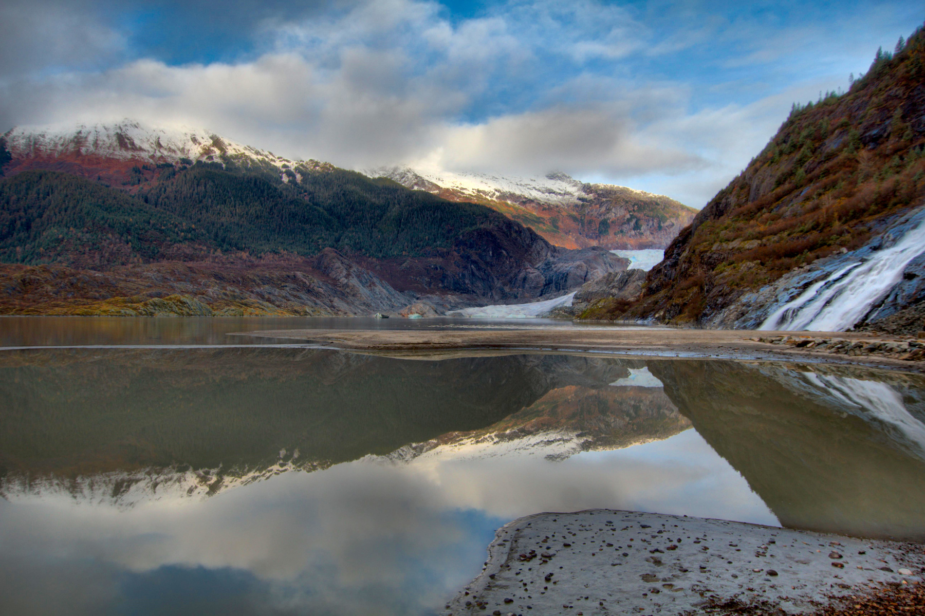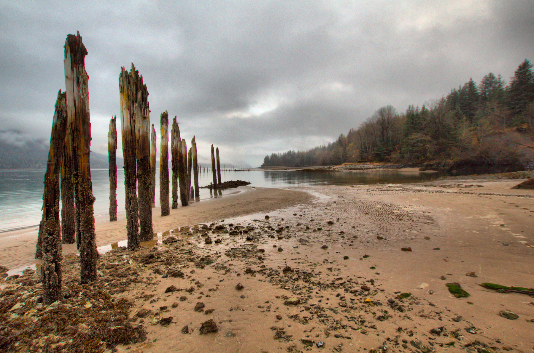
We went to the glacier today. In Juneau, that’s short hand for the Mendenhall, since it’s the one you can basically drive to. When we lived here in the late 1980s the face of the glacier was just a little past Nugget Falls, on the right in this photo. When my mother-in-law lived in Juneau, the face of the glacier was considerably further out into the valley. Like most (but notably not all) glaciers since the last little ice age, roughly between 1300 and the mid to late 1800s, it is receding. It’s still pretty and the clouds separated long enough for us to see some of the mountains around it, at least briefly, although you can’t really see them well in this photo.
Travel
Mendenhall Glacier
Treadwell
In 1898, Cathy’s great grandfather traveled from the iron mines of Michigan’s northern pinensula to the gold mines of Juneau. Specifically, he worked in the Mexican Mine in Treadwell on Douglas Island, across the Gastineau Channel. In 1917 the mine flooded and all work ceased. This photo was taken from near the cave-in site, which is on the extreme right although it’s not really visible. As you can see, it was more overcast than the previous two days, which were pretty nice. We couldn’t see the top of Mount Roberts across the channel. Nevertheless, it was good to get out and to walk where Cathy’s ancestors had walked (although we’ve been there before, of course). The Treadwell Mine’s office building, which was in pretty rough shape when we lived in Juneau, has been cleaned, painted, and given a new roof.
Airport Flats
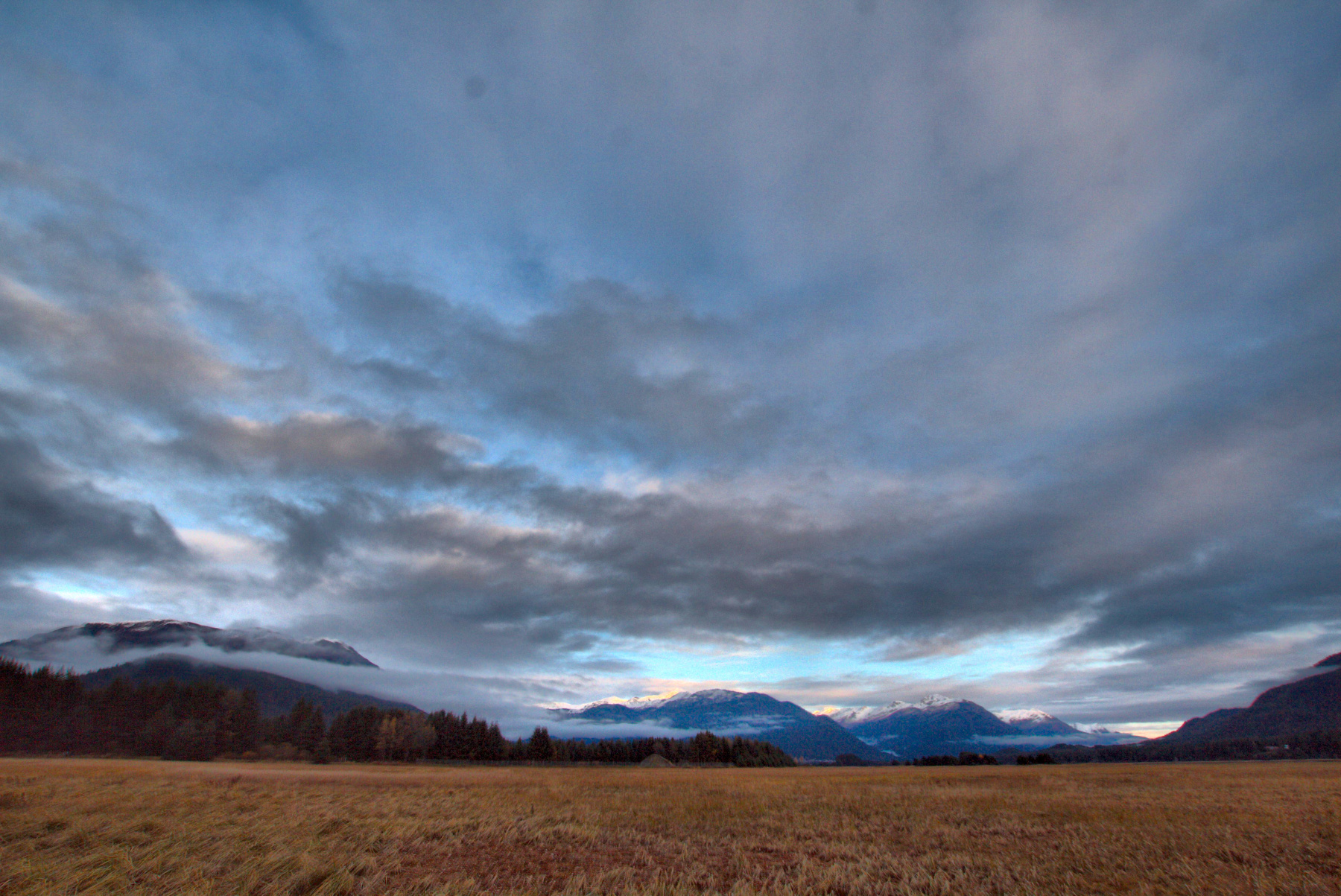
As mentioned in my earlier post for today, it was a busy day. In the afternoon we went for a walk with Brian and Lisa around the airport. It’s a pretty place and it’s not like the busy airports we’re used to from the DC area with planes taking off and landing one after the next all day. It’s a relatively quiet place except for the occasional plane and we had a nice time outdoors. If you need a reason to go to Juneau, here’s one. It’s beautiful regardless of the weather. The clouds were high enough today that we could see the mountains pretty well. We didn’t have a clear day the entire ten days we were there but if you need clear skies to enjoy a place, then maybe it’s not all it’s cracked up to be. The airport walk is an easy one, with virtually no hills to deal with. Very nice for a mid-afternoon walk. Highly recommended.
Rainbow Over Mendenhall
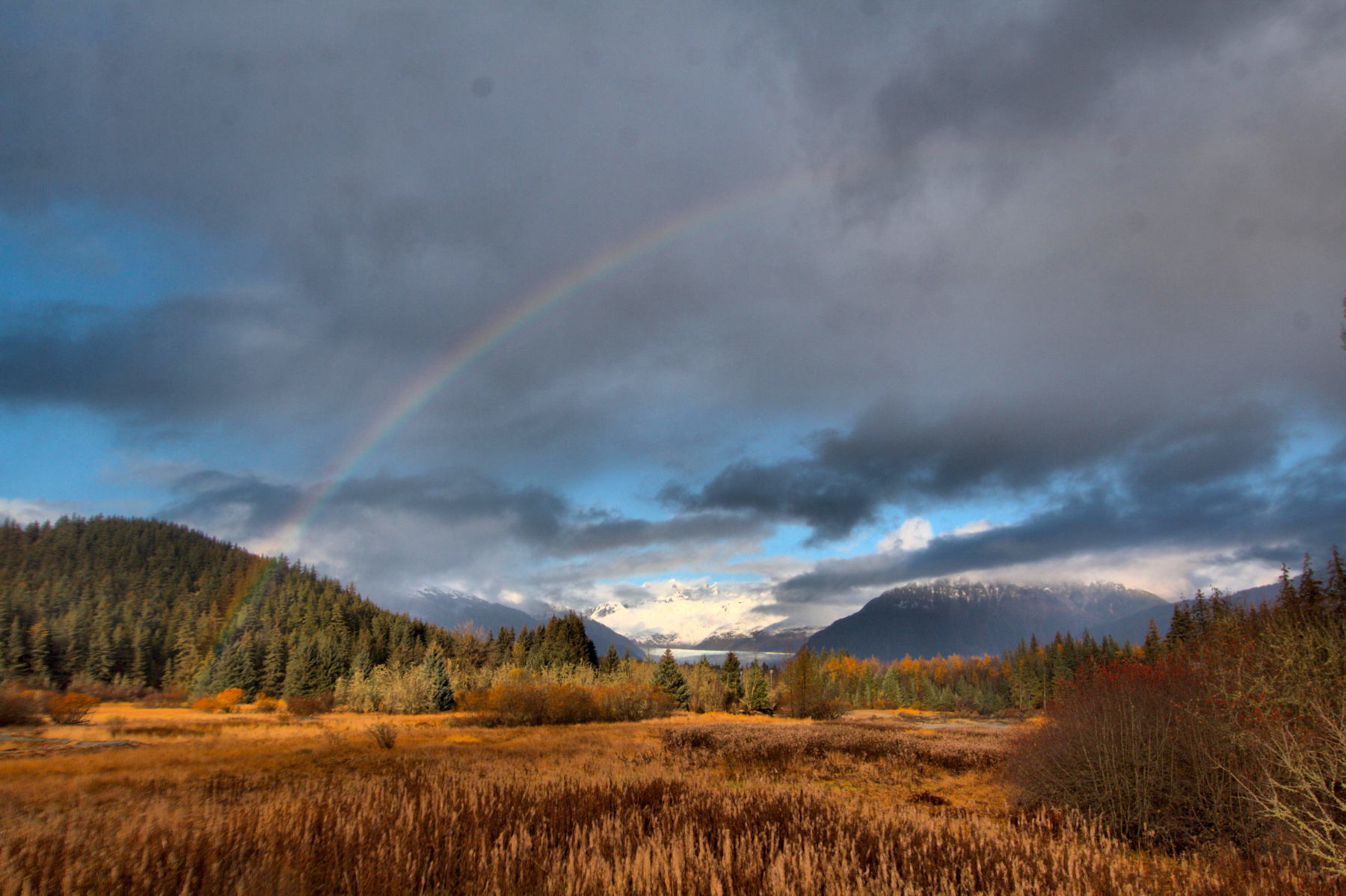
As mentioned in my previous post, it started raining as we returned to our car at the Eagle River trail near the Boy Scout Camp. It rained fairly hard but as we approached the Mendenhall River the sun came out and there was a rainbow to our left. We stopped at Brotherhood Bridge, where there’s a pretty decent view of the glacier and we had it framed by the rainbow. Rainbows can be tricky to photograph because the colors are fairly faint relative to other things in the photograph. Slight underexposure can help but that tends to make the rest of the shot dark. Anyway, This one turned out pretty well. At a different time of year, this photo would benefit from fireweed in the foreground, but the autumnal colors aren’t bad, either.
Muskeg
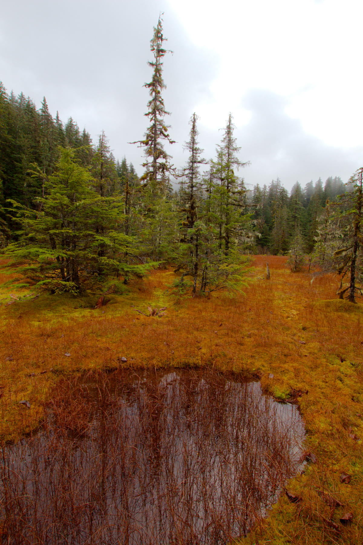
Near the confluence of the Eagle and Herbert Rivers, about 26 miles from downtown Juneau, there is the Eagle River Scout Camp. A trail leads from there along the south bank of the Eagle River to the open waters of Favorite Channel and Lincoln and Shelter Islands. Cathy, Dorothy, and I took the dogs and had a nice walk through the woods, along the river, and along the sandy shore. This photo was taken near the beginning of the walk in an open area in the woods.
A muskeg is “a nutrient-poor peatland characterized by acidic, saturated peat, and scattered or clumped, stunted conifer trees set in a matrix of sphagnum mosses and ericaceous shrubs.” I personally find them to be beautiful, although it’s not something you want to walk through if you can get around it. I particularly enjoyed the fall color as seen in this photograph as well as the reflections on the pool in the foreground. The sky was particularly overcast today and we only had glimpses of the mountains that would otherwise be in the distance. The overcast tends to heighten the colors, though, so that’s a plus. And the rain was barely noticeable until just before we got back to the car.
Mount St. Helens
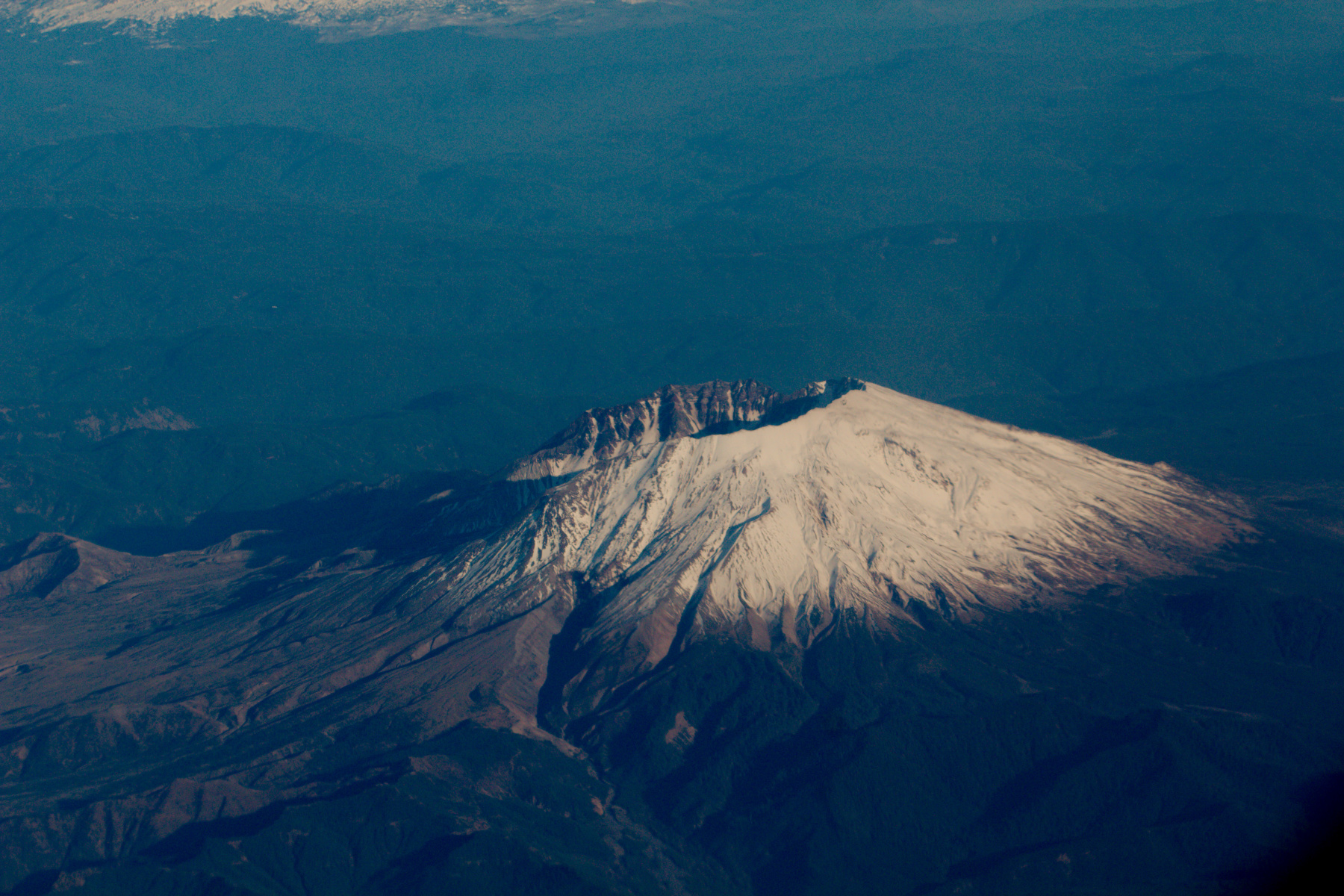
From Los Angeles we flew up the coast and had a nice view of Lake Tahoe. We also had a nice view of Yosemite Valley from the west and I was able to make out some of the most notable features, including Half Dome, Cathedral Rocks, and El Capitan. I only had my wide angle lens so the pictures I got were not very good, although I can identify landmarks pretty well. A little further on we passed Mounts Hood, Adams, St. Helens, and Rainier. At this point I had retrieved my 100mm lens was able to get some nice pictures such as this one of Mount St. Helens in Washington. You can clearly see the hole in the top from when it blew its lid in 1980, an event that I remember vividly from the news reports of the time (but thankfully didn’t experience anywhere near first hand).
On The Road (Metaphorically Speaking)
Cathy and I began a ten day trip today, getting up at 3:40, driving to the commuter parking lot on Georgia Avenue and catching the 4:21 bus to BWI airport. That was the beginning of a 23 hour journey spanning four time zones. Our first flight left BWI at 7:00 AM EDT and arrived in Los Angeles at 9:45 PDT. Add three hours to that for the time zone change and we were in the air about 5 hours and 45 minutes. We had an equally long layover in LAX, not leaving until 2:40 for Seattle. We walked nearly two miles from terminal 6 through tunnels under terminal 5 and then up and through terminal 4 to the Tom Bradley International Terminal (a.k.a., Terminal B), walking the length of that (and back). That wore us out but also passed a good bit of time.
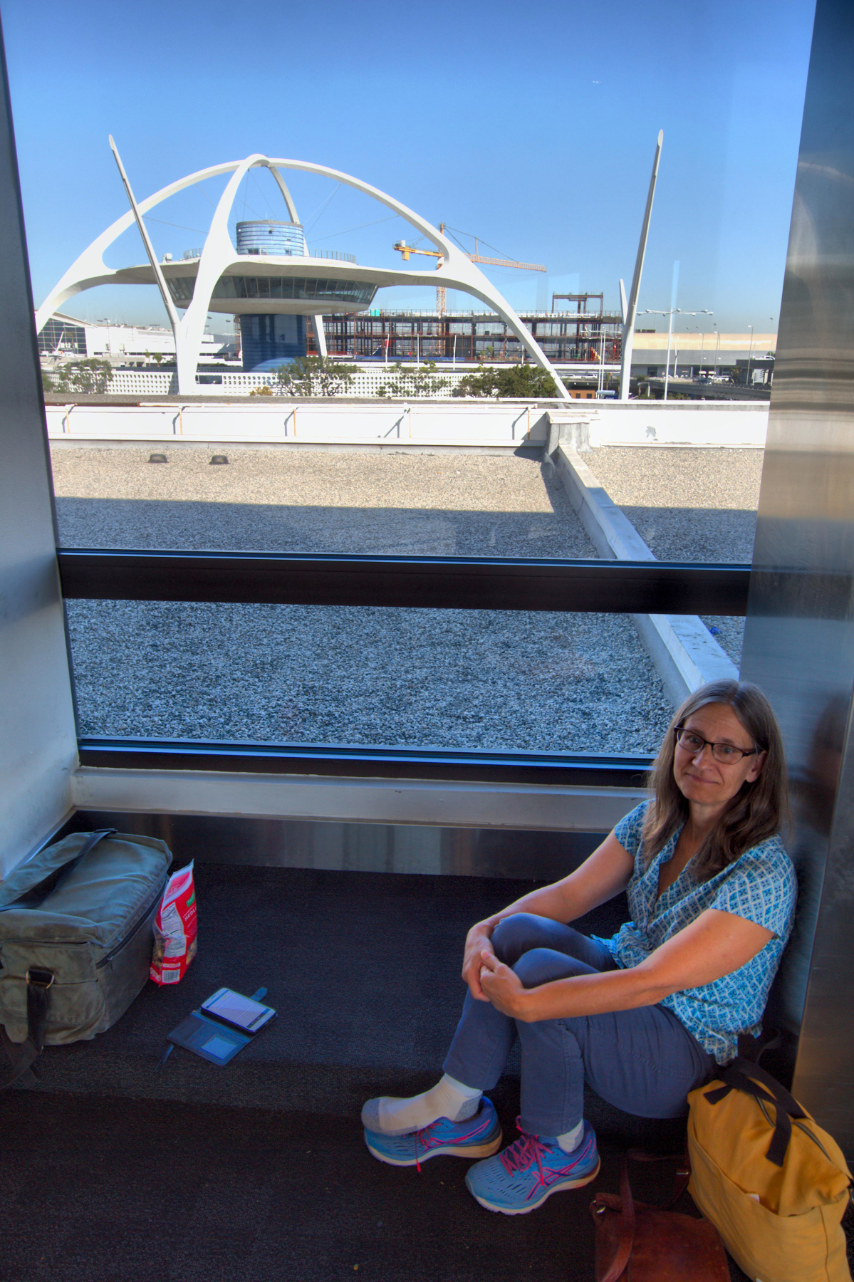
This photo, taken from Terminal 6, is of Cathy resting her ankle briefly with a view of “The Theme Building” in the background. We had lunch and then went to our terminal ahead of boarding. You know how in airports there are often announcements where a person is named, but it’s never you so you don’t pay attention? While we were waiting for our flight, the woman on the PA called my name and asked me to come to the service desk. Needless to say, I was surprised. I was even more surprised when I went to the counter and she handed me my driver’s license. It had been in my pocket and apparently fell out. The amazing thing is that not only was it found but someone went to the trouble to find out where my next flight was leaving from and get it there. I didn’t know it was even lost until it was returned. I was more than a little grateful.
Harpers Ferry, West Virginia
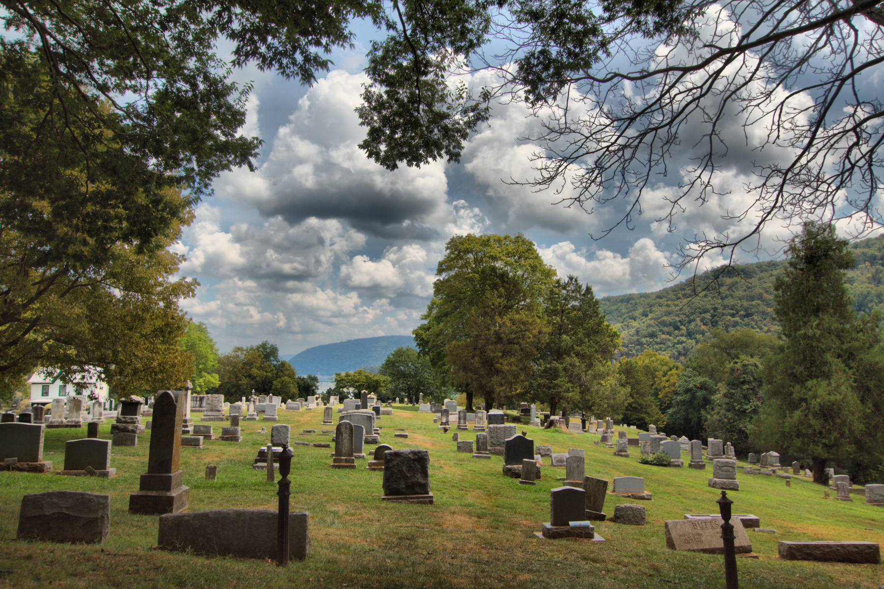
Cathy and I were able to get away for two nights and a day and we drove up to Harpers Ferry. From our hotel we walked into town today and enjoyed the scenery. It was in the low 90s and very humid so we were glad to take a break in the visitor center and museum in town (which was air conditioned) and then stop for lunch part way up High Street in an air conditioned place. We continued up the hill and I took this picture looking east over the cemetery towards the confluence of the Potomac and the Shenandoah Rivers. This was taken while sitting on a bench and catching my breath after the walk up the hill.
Green Swamp
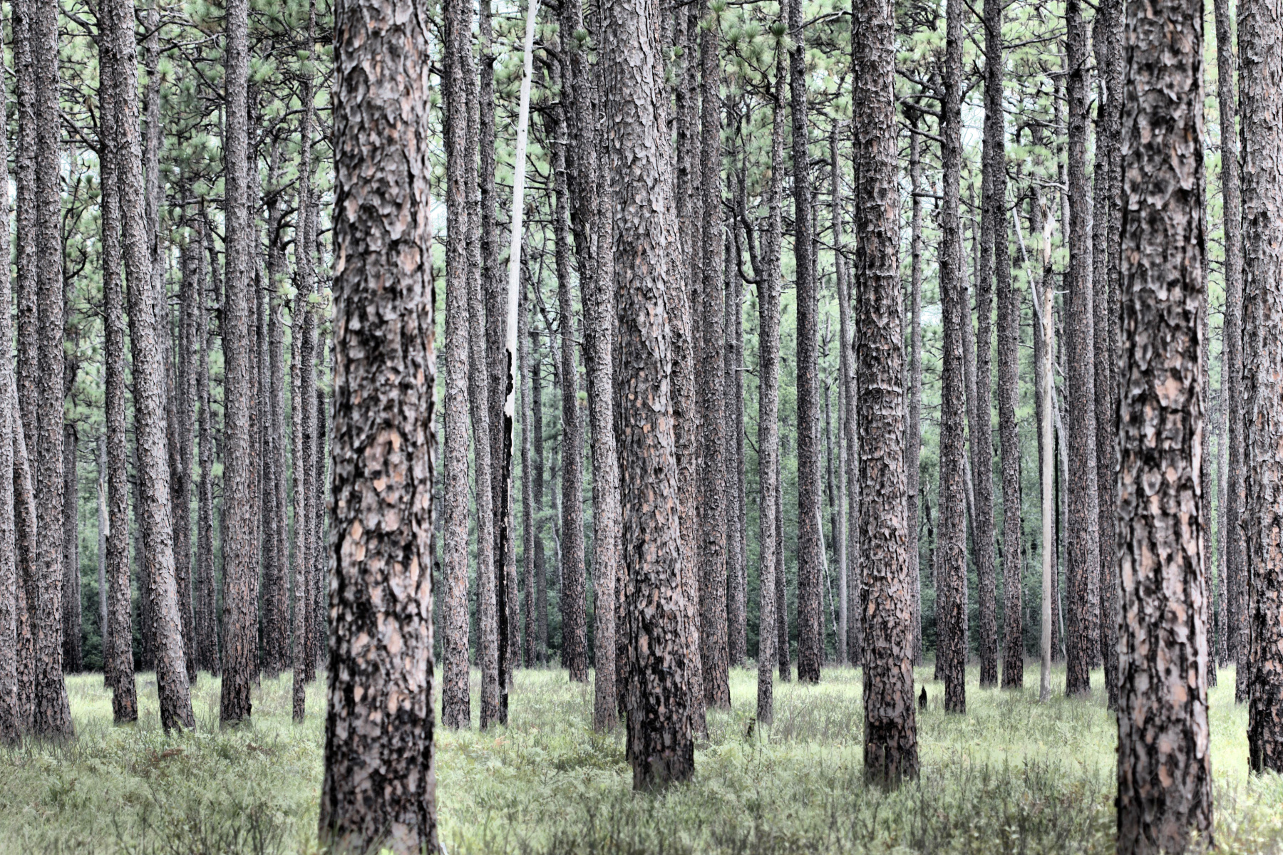
I’ve gone to the Green Swamp a few times during our weeks at the beach. Sometimes with a largish group and sometimes just a few others. I went by myself today and had a nice time. I planned not to go too far, with the primary goal of getting some pictures. I got some nice shots of Venus fly traps (Dionaea muscipula) and sundews (Drosera sp.). It was fairly dry and many of the pitcher plants (the purple Sarracenia purpurea And the yellow Sarracenia flava) were a little the worse for that. Still, I got some pictures. I also got a good shot of a palamedes swallowtail (Papilio palamedes (. But this is my favorite photo from the trip, showing the long leaf pines (Pinus palustris).
Sunset, Ocean Isle Beach
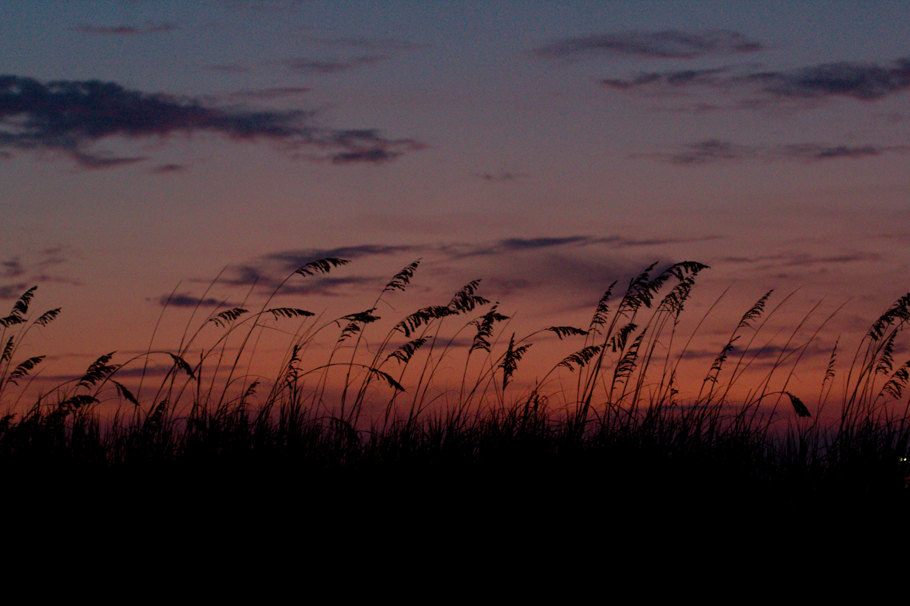
We had a pretty sunset this evening. there was not a huge amount of color but on the horizon it was very nice and I thought it looked especially good through the dune grass growing between our cottage and the beach. We had a nice day with a very calm ocean for swimming. I’m a fan of body surfing and although it was quite calm, there were occasional waves that were good for riding. Cathy prefers using a boogie board, which is fine, but I like the feel of the water.
Ocean Isle Beach
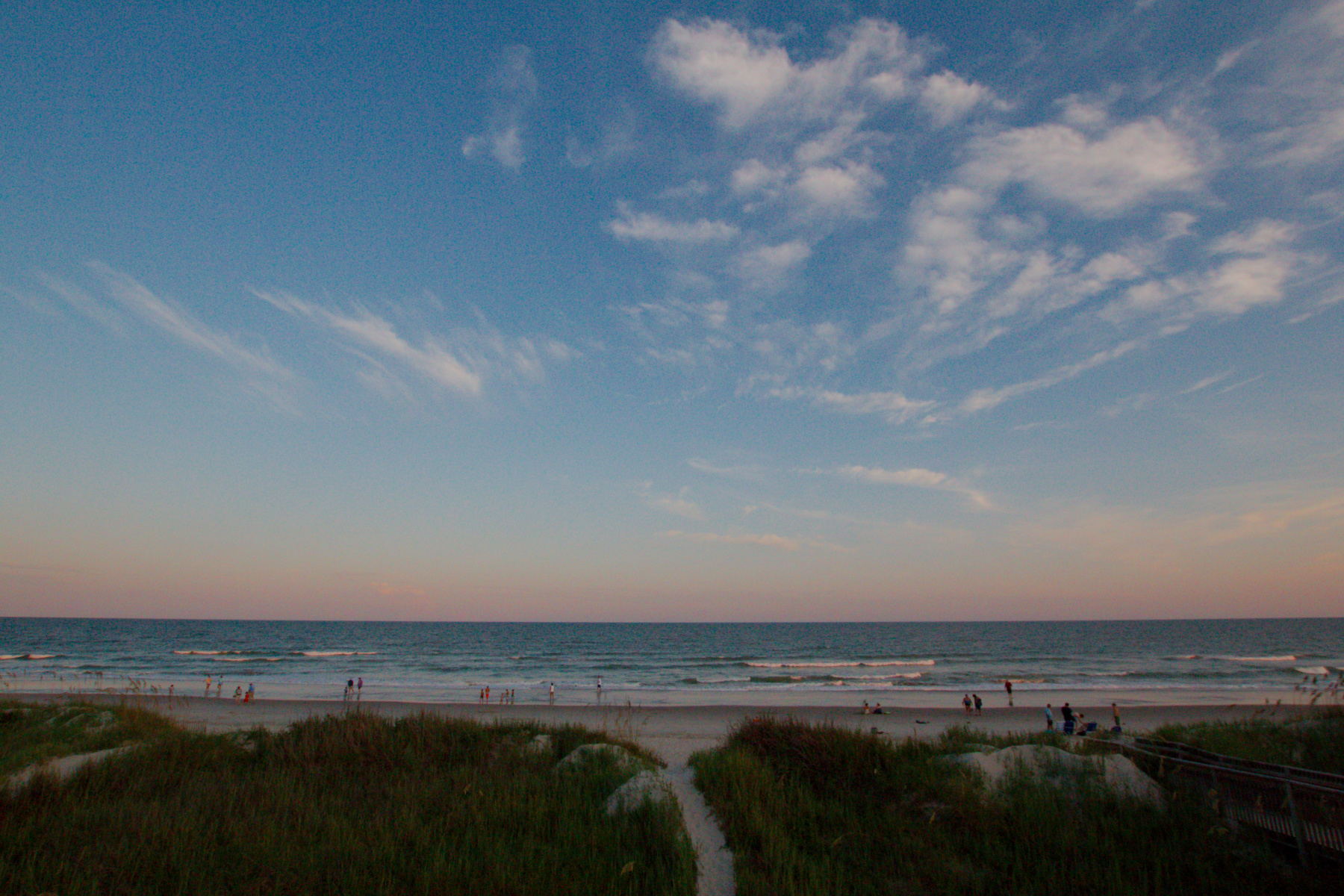
We spent the better part of the day driving to Ocean Isle Beach, North Carolina today. We were delayed a little by a flat tire and the time it took to get that replaced but better to have it happen near home that when we were traveling 70 MPH on the highway. Traffic between the Occoquan River Bridge and Fredericksburg was as bad as ever. Actually, worse. Generally the GPS says “Fastest route despite delays” but today it not only told us to get off of 95 onto US 1, it twice took us off of Route 1 onto smaller streets. I’m not entirely sure that saved us any time and the delay added about two hours to the drive, but we did finally make it to the beach and were able to relax a bit. As you can see, we arrived to fine weather and a calm Atlantic Ocean.
Wedding Weekend
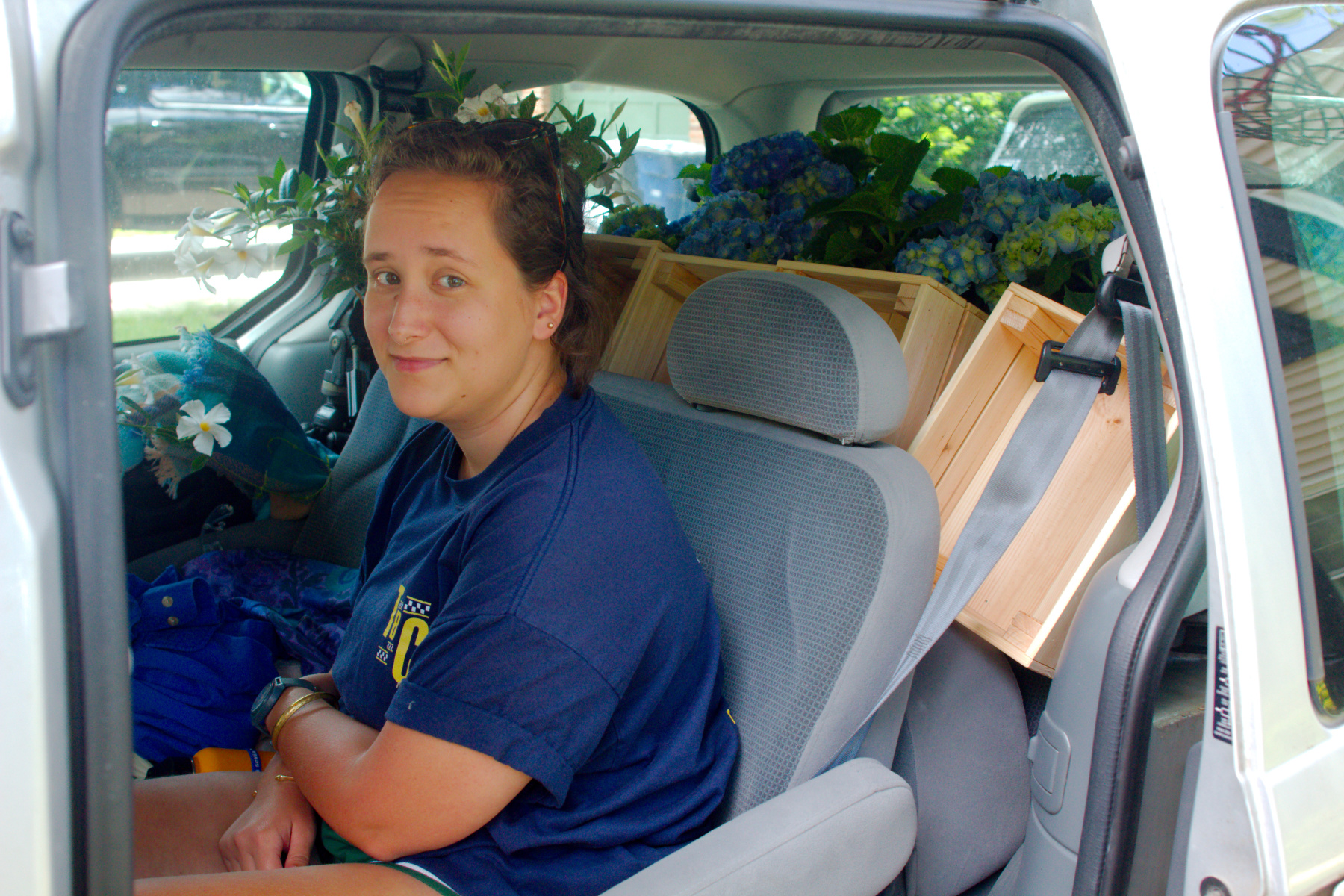
Our good friend Maria is getting married tomorrow and we drove to southern Virginia this afternoon. We offered to transport a few things so we stopped in northern Virginia to pick up two corn hole games, a croquet set, four trash cans, and 14 plants, plus a few other odds and ends. We had hoped to have my mom’s Toyota minivan but alternator trouble meant we went in the Mercury Villager, instead, which is a bit smaller. We managed to get everything in, although Dorothy had a mandevilla on the end of the back seat with her.
George Washington Bridge
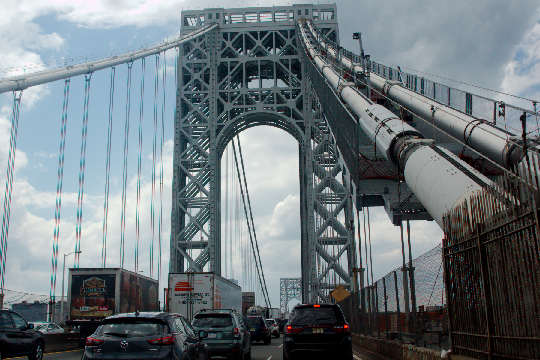
We drove home from Massachusetts today. Nine and a half hours isn’t a bad amount of time for the 475 mile trip, but with only two stops, it really shouldn’t have taken so long. We had to detour twice to get around significant problems, once near Sturbridge, in Massachusetts and then at the 95, 295, 495 interchange on the western shore of the Delaware River, after crossing the Delaware Memorial Bridge. There was no getting around the traffic getting onto the George Washington Bridge, crossing the Hudson. The stop and go traffic, however, gave me the opportunity to take a few photos as we got onto and crossed the bridge.
DCA Taxi Stand
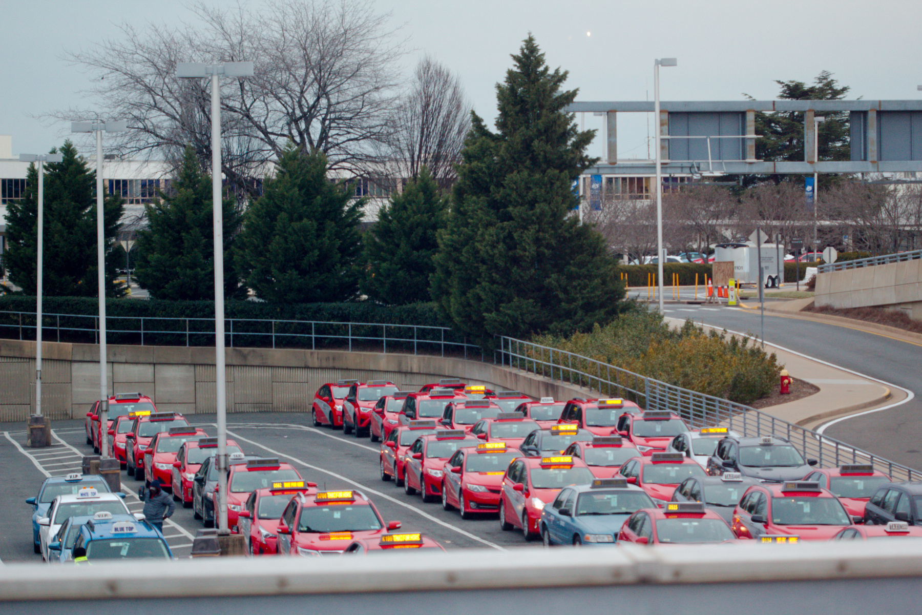
Cathy and I went to DCA (also known as Reagan National Airport) early this evening to pick up her cousin and his wife, flying in from the northwest. Traffic was its usual horrendous self. There was an accident on the inner loop with all but one lane blocked by fire trucks and police. That slowed us considerably on the outer loop but boded even worse for our homeward journey. While at the airport I took a very few pictures but they include this one of a taxi stand waiting above Terminal B. I wonder how much change there has been in the taxi business here due to app-based ride-finding services like Lyft and Uber. My guess would be that it’s made a substantial difference but I really don’t know and don’t use either taxis or Lyft/Uber enough to have any feel for the difference in price or level of service.
BWI Airport
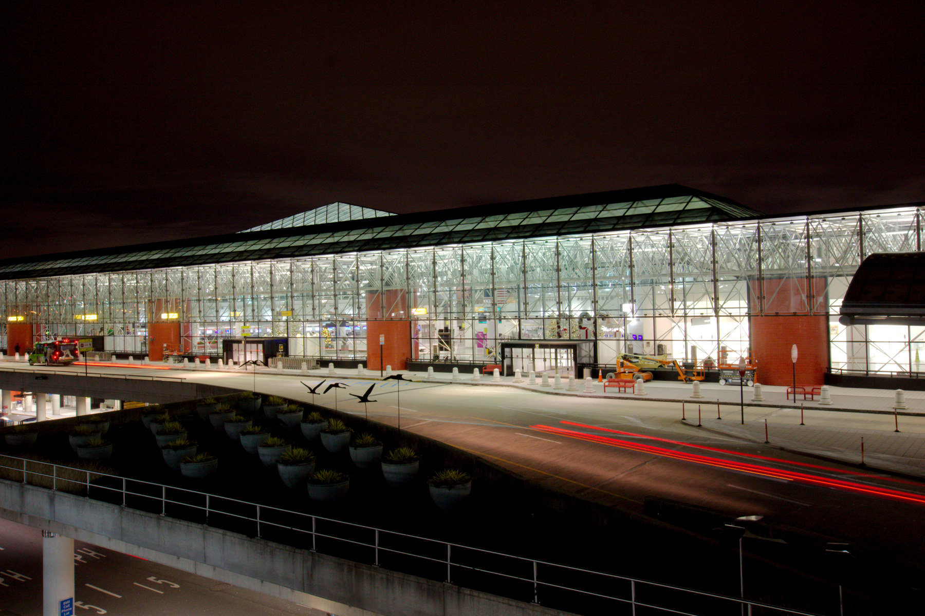
Dorothy flew up to Boston on Saturday to go to a wedding on Sunday. She had a busy but fun time visiting with friends and being, in her words, an emotional support animal. She flew home today and we picked her up at BWI at about a quarter past eleven. I took my camera with me because I hadn’t taken any other pictures today. This was taken from the top deck of the parking garage, looking towards the northeast end of the terminal building (Concourse E). I took a few inside, as well and none of them were really anything to write home about, but as I have to post one, here you are.
Turkeys in a Cemetery
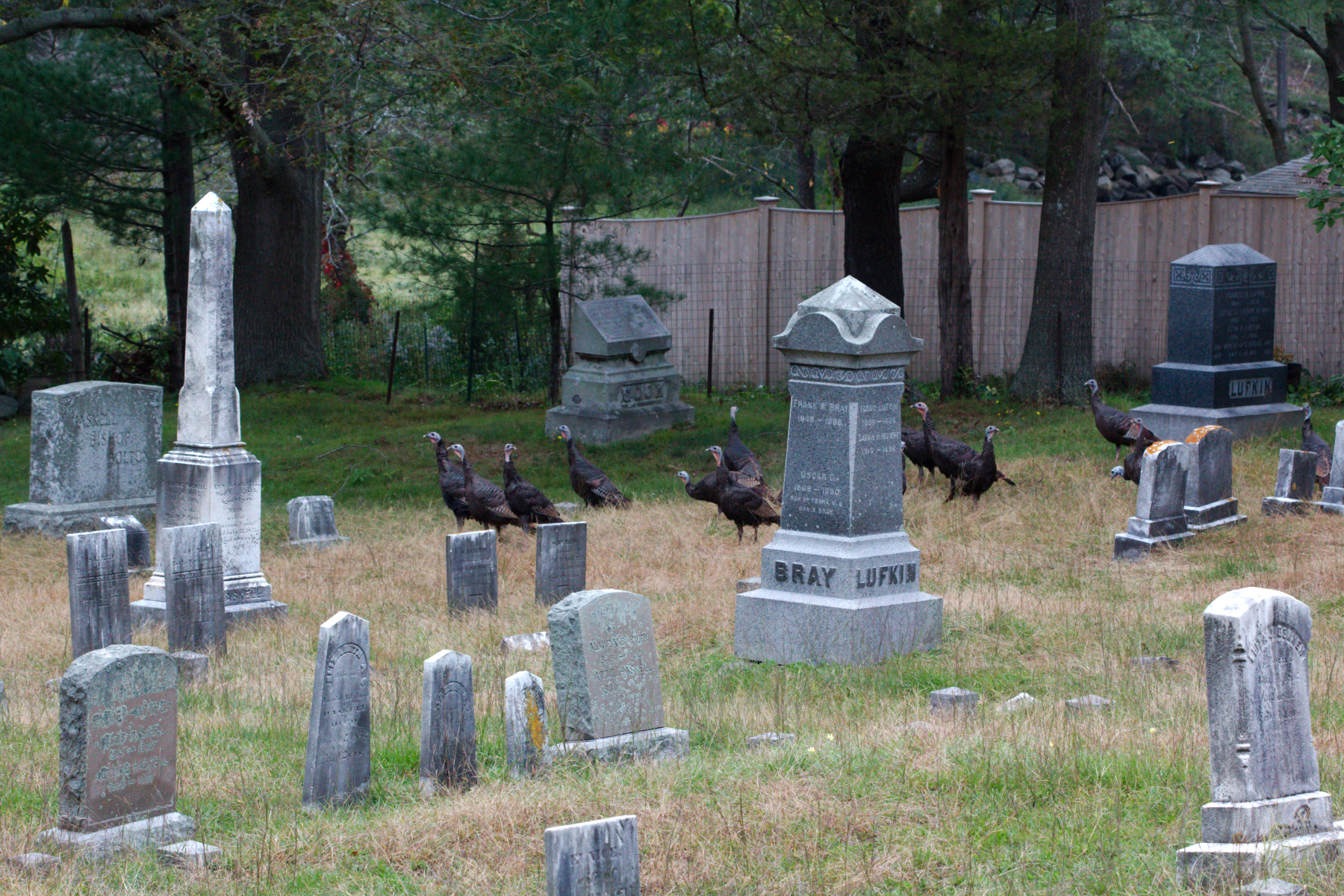
As we left our AirBnB this morning, heading for home, we passed this little cemetery and saw a flock of wild turkeys (Meleagris gallopavo) among the grave markers. We stopped and took some time to walk around the cemetery a little and enjoy the quiet, as well as the birds. As I walked across the top of the cemetery, they moved slowly towards and then through an opening in the fence behind them. We used to see turkeys a lot more often than we do now. In Pennsylvania we would see them somewhat regularly and also ring-necked pheasants (Phasianus colchicus, the common pheasant of Asia, introduced into North America in the late 18th century). We almost never see them any more, so this was a treat for us.
Tappan Zee Bridge
We drove up to Massachusetts today to see Dorothy for Homecoming weekend. We were there at Homecoming weekend her freshman year although we didn’t actually go to any of the scheduled events. She was just getting used to being away at college and wanted to show us some of the places she had discovered and to introduce us to some of her new friends. As a senior, this year is quite different. We still don’t have plans to attend a lot of the scheduled events, but we’ll do a few. Some of the friends are the same and there are a plenty of new friends.
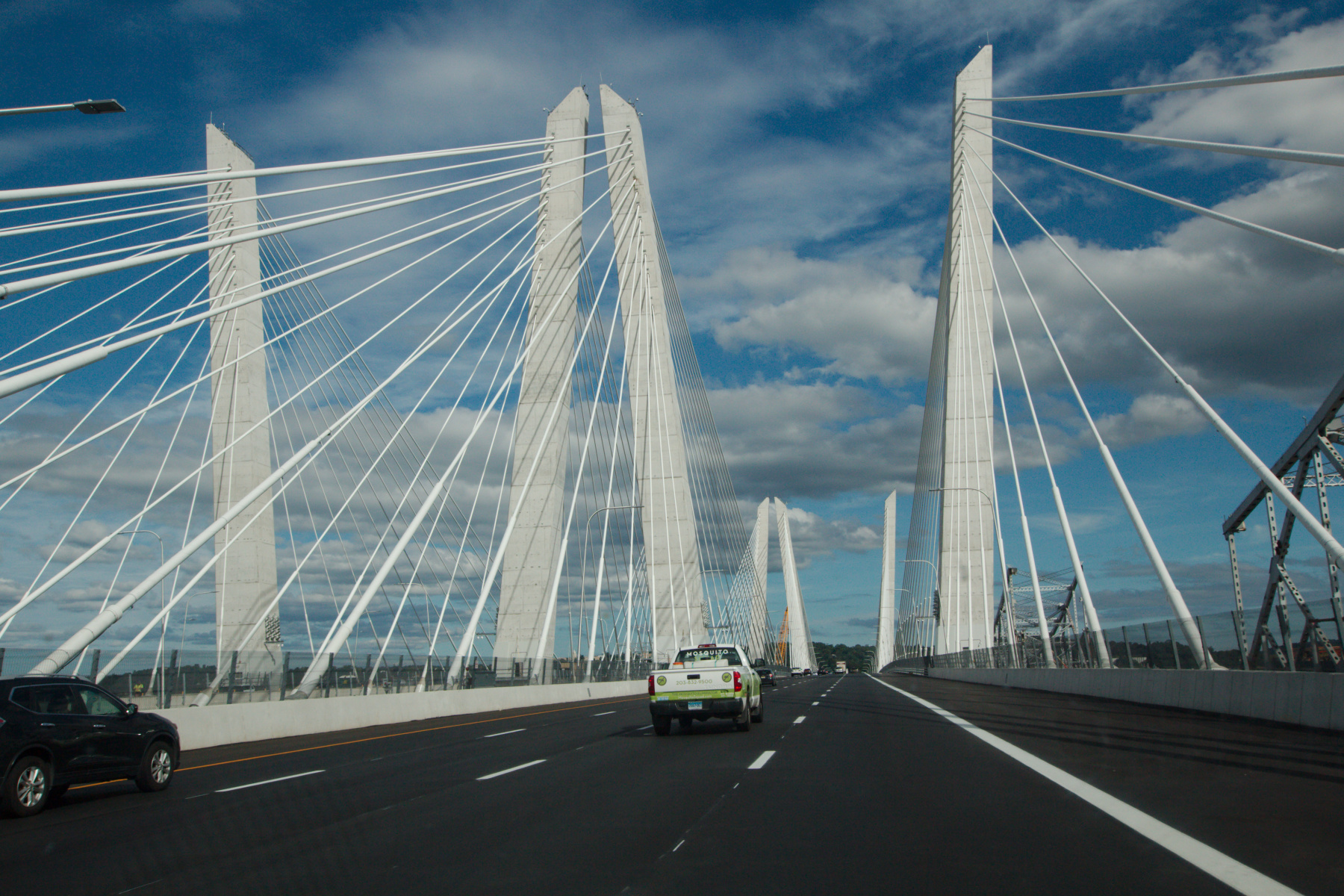
Anyway, I prefer to take the slightly longer (by about 14 miles) route up the Garden State Parkway and across the Tappan Zee Bridge and the Merritt Parkway rather than taking the George Washington Bridge and sticking to Interstate 95 across New York and Connecticut. When we drove up in August of 2015 they were building the piers for the new bridge. Now we’re driving across the new bridge and you can just see a part of the old bridge on the right. This new bridge is officially named after former New York Governor Mario Cuomo but I think its name will always be the Tappan Zee Bridge, to me.
China Clipper Model, BWI Airport
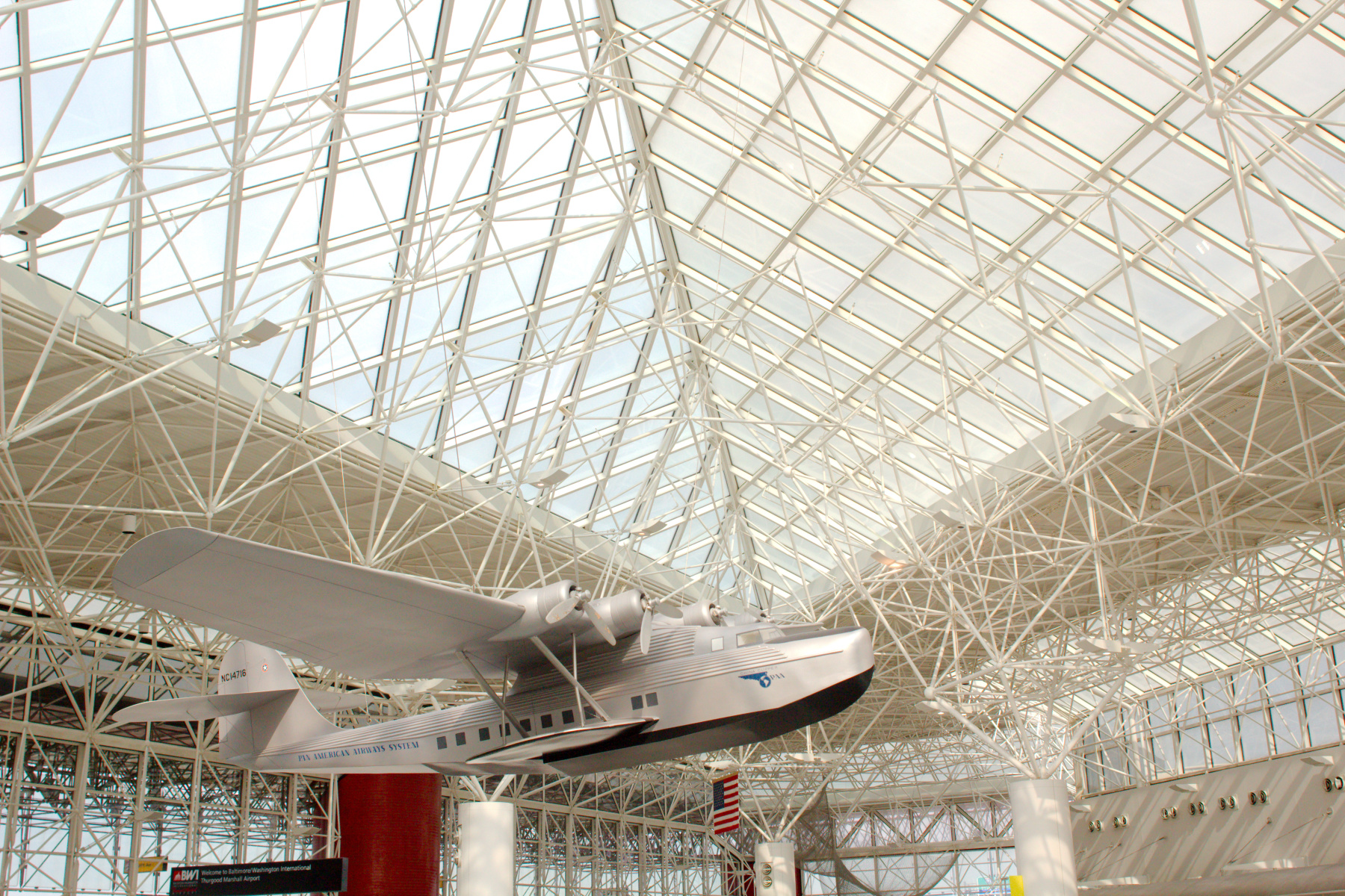
I drove out to BWI Airport this morning to pick up Margaret, who returned today from Chicago. I had a little time after I parked so I walked to the international terminal at the end of the building. I’m not sure why but the area was practically deserted. I took a few pictures of this model of The China Clipper (NC14716). The original was built for Pan American Airways by the Glenn L. Martin Company in Baltimore, Maryland. Per Wikipedia, “In 1961, the Martin Company merged with American-Marietta Corporation, a large sand and gravel mining company, forming Martin Marietta Corporation. In 1995, Martin Marietta merged with aerospace giant Lockheed to form the Lockheed Martin Corporation.” The China Clipper flew the first commercial transpacific airmail service from San Francisco to Manila in 1935. It was lost in a crash on January 8, 1945 in Port of Spain, Trinidad and Tobago.
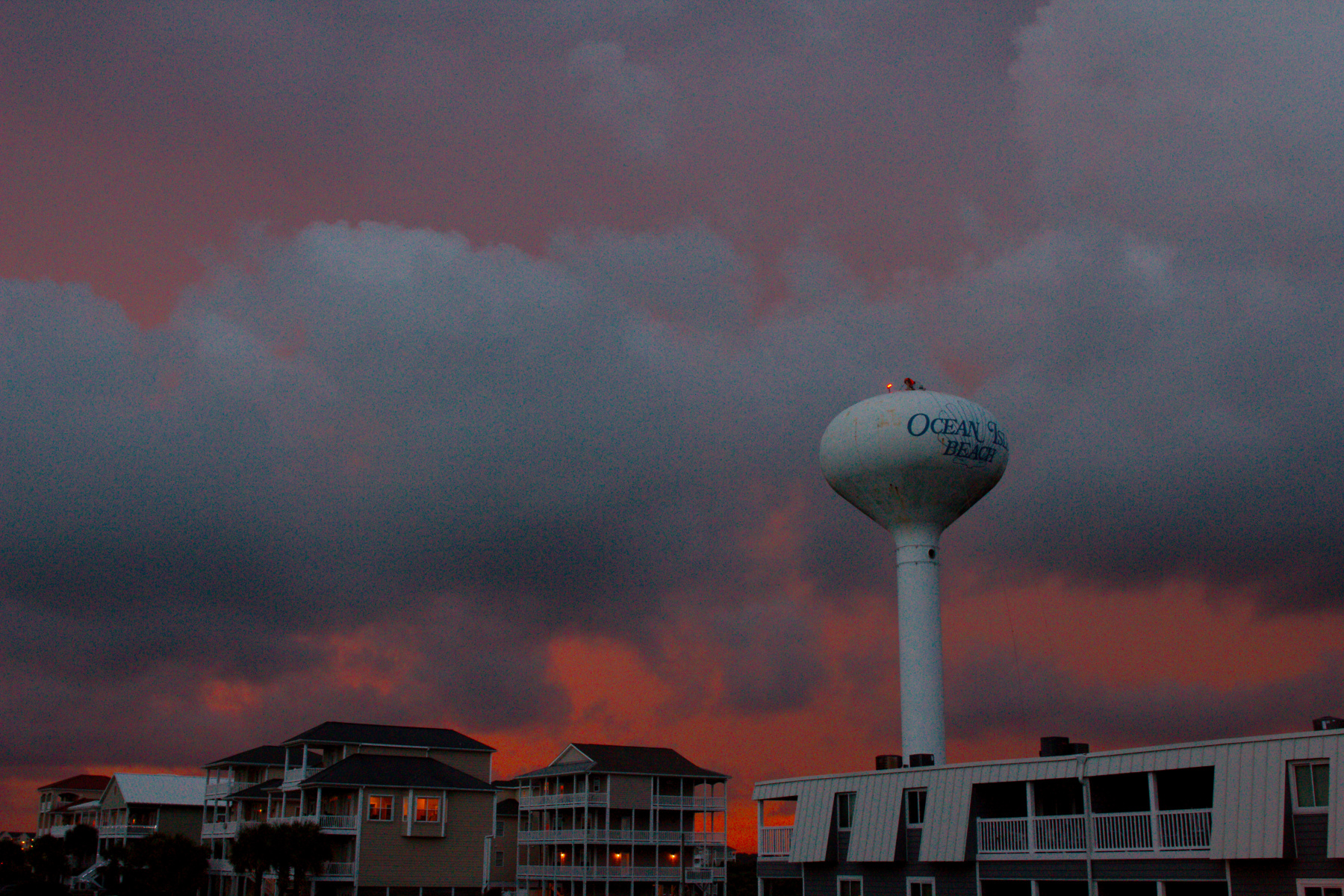
Ocean Isle Water Tower at Sunset
We were preparing to go to the Whites’ house, just a little way down the beach, when the sun was setting. There were a couple guys working on the top of the water tower near where we were staying and as the clouds were moving past, there were occasional flashes of lightning and distant thunder. None of is was closer than three or four miles but if it were me up there it would have made me a bit nervous. Anyway, I took some pictures of the water tower with the sunset color in the clouds behind it. It was pretty impressive. Of course, if I had gotten a picture of lightning striking the tower it would have been both amazing and tragic. Fortunately for those guys, it didn’t happen.
Ocean Isle Beach
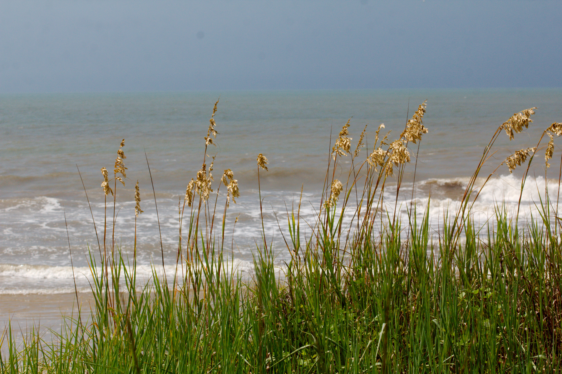
As mentioned in yesterday’s post, the family reunion we went to was on our way to a week at the beach. Work has been pretty crazy lately. On the one hand, I really need to be there to get some things done. On the other hand, I really needed this break and I’m looking forward to not really thinking about work all week. This is the view from the deck half way to the beach from the cottage where we’re staying. It’s an older house, smaller than most, but adequate to our needs. This picture was taken around high tide and it’s a rainy morning so not a lot of activity on the beach. As the tide went out and the sun started to shine, the beach filled with people (as you would expect).
Dorothy and Abba
We drove up to Canterbury Shaker Village today to see Dorothy’s cousin Abba. She has been there all week in their first resident artists program. The program was a success and they plan to repeat it regularly. Abba was chosen as one of only five artists (and one of two painters). We enjoyed seeing her work as well as wandering around the historic, Shaker buildings. It’s a beautiful, peaceful place, only occasionally disrupted by the sounds of the New Hampshire Motor Speedway just over a mile to the east (if you go on a non-race day, you won’t have that issue). We wandered around the gardens and down to the ponds on the eastern part of the property.
Annisquam Lighthouse
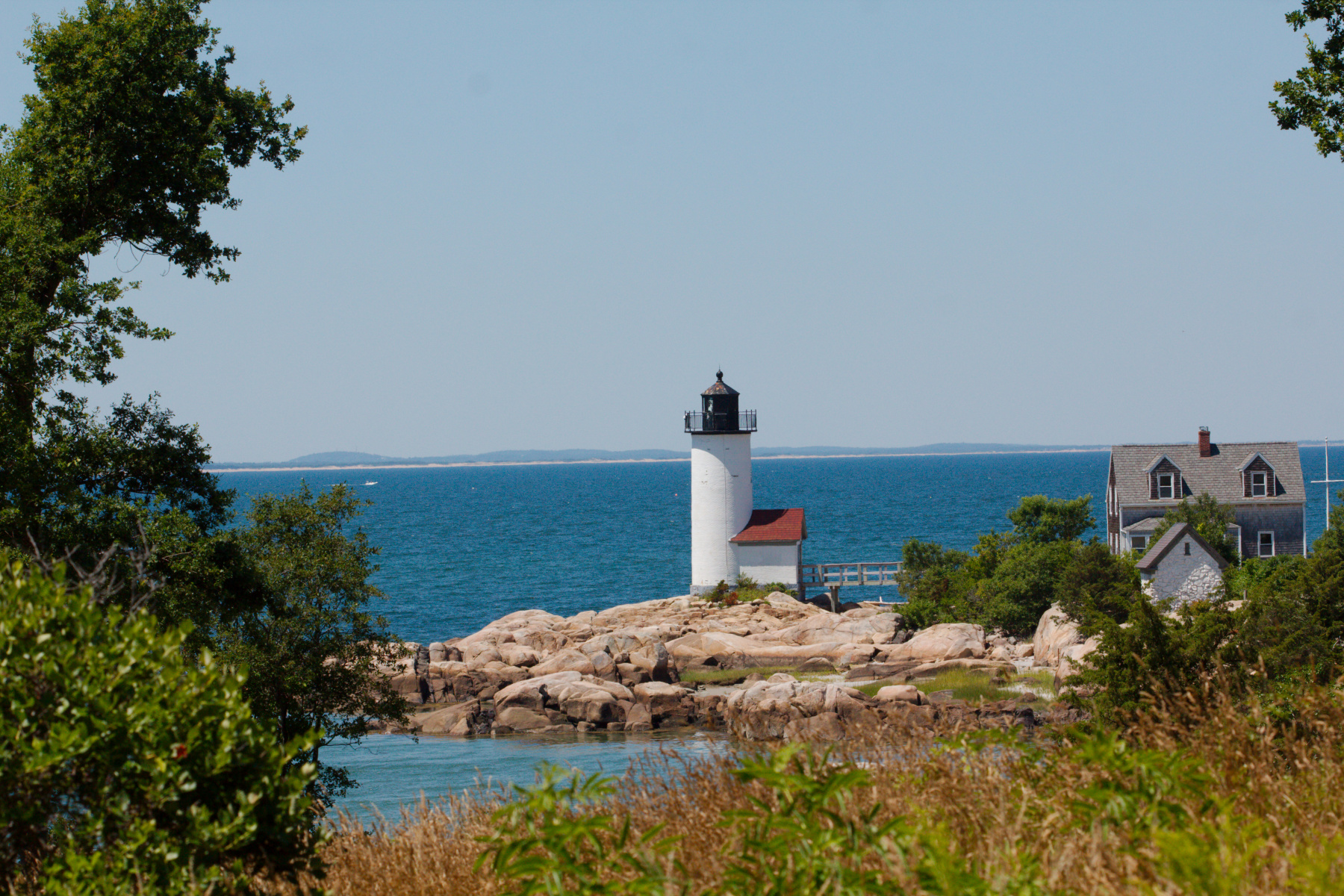
Dorothy came out and we had breakfast together in Gloucester this morning. Then we spent a little time on the waterfront, enjoying the same flowers I mentioned two days ago. After that we drove around Cape Ann, ending up at a little private beach south of Annisquam Lighthouse, pictured here. We got permission to hang out there for a little while and enjoyed the cooler weather after yesterday’s sweltering heat. Cathy and Dorothy went for a swim and I sat in the shade of a few white oak trees.
Plum Island Salt Marsh
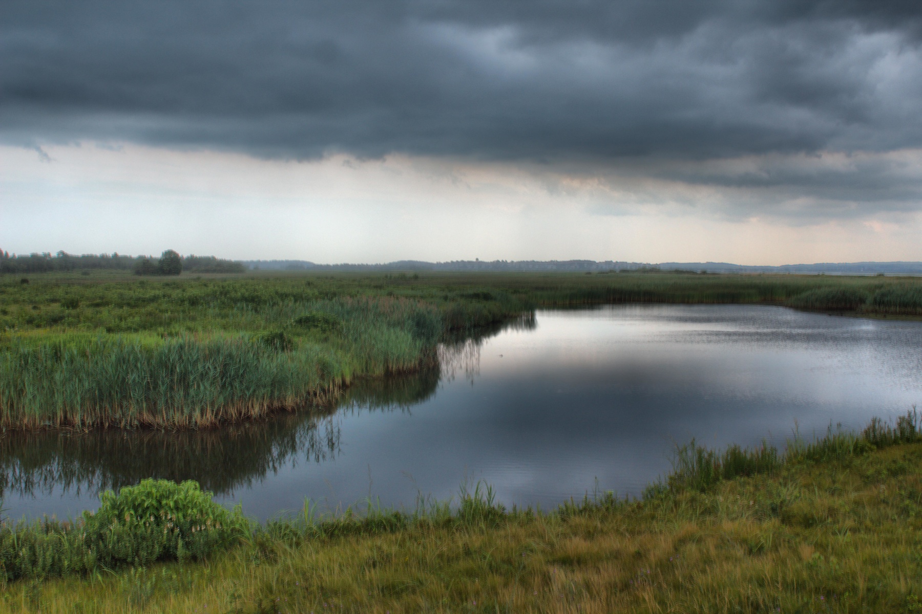
When planning our trip to Massachusetts, both Dorothy and I included a visit to Plum Island on our list of things to do. Except for the two ends of this barrier island it comprises the Parker River National Wildlife Refuge with the southern tip of the island being the Sandy Point State Reservation. It’s a beautiful place and even with a few sections closed because of nesting plovers, there’s plenty to see. We enjoyed being outdoors in such a wide open space. We also enjoyed watching storm clouds rolling in. It was quite warm today, well up into the mid-90s and there were a few places where the breeze didn’t reach us as we walked. It was stifling in those spots but then we’d get to where there was a nice breeze coming off the bay. As we were leaving, the rain got to us and it came down quite hard. The temperature dropped to near 70&xb0;F.
Foggy Harbor
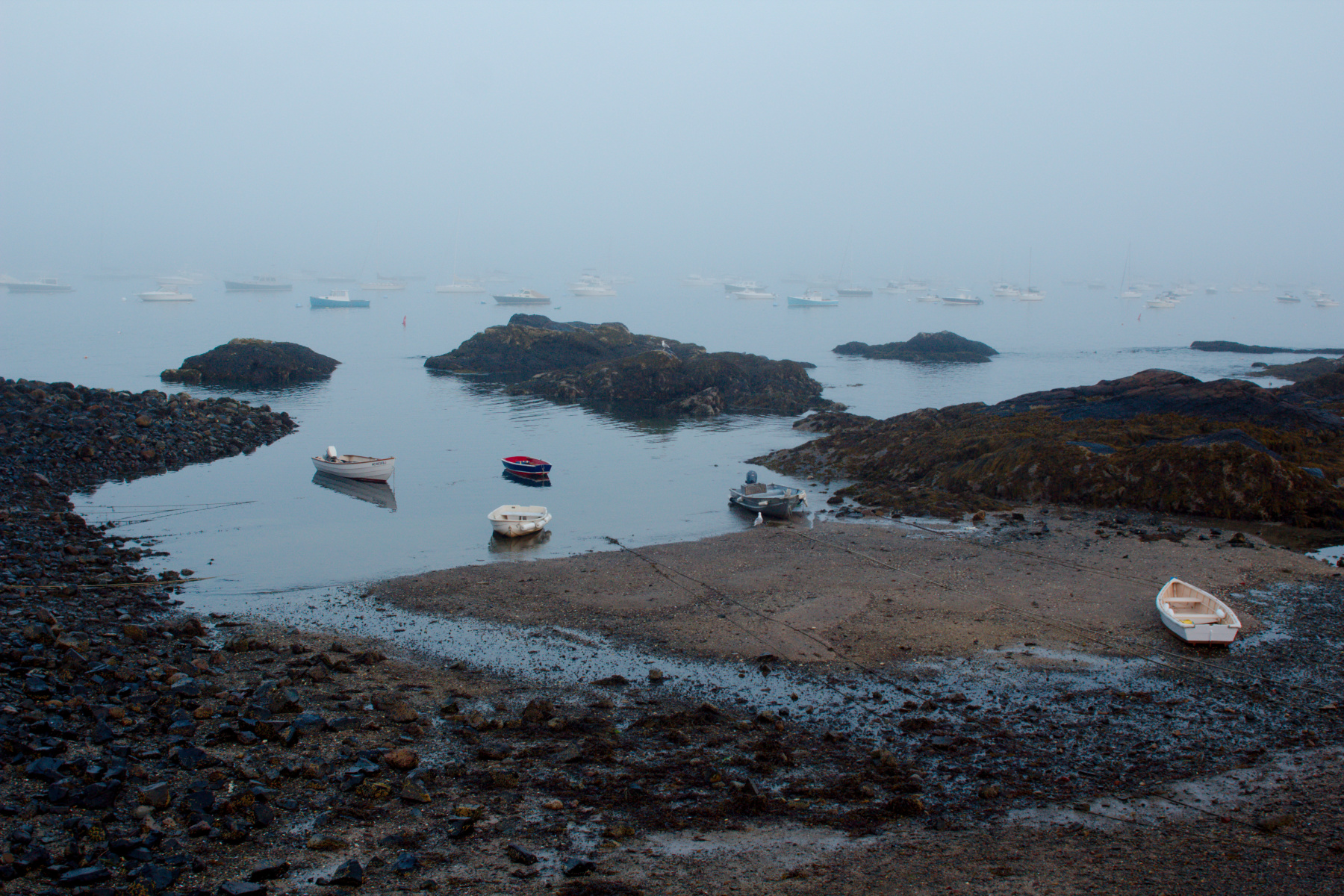
We had a busy day today. Dorothy drove out to Gloucester and we went to breakfast together. Dorothy had to work later and Cathy and I enjoyed the waterfront back in Gloucester. They have some really lovely flowers planed on Western Avenue (where the fisherman memorial is). We really enjoyed the colors and the variety. After she got off work, Dorothy, Jonathan, Cathy, and I went for a walk at Strawberry Hill out to Smith Island. Then after dinner we dropped Jonathan off in Beverly and drove down to Fort Sewall in Marblehead. It was quite foggy and this picture was taken there just after 8:00 PM. All in all, a good day.
Great Falls, Maryland
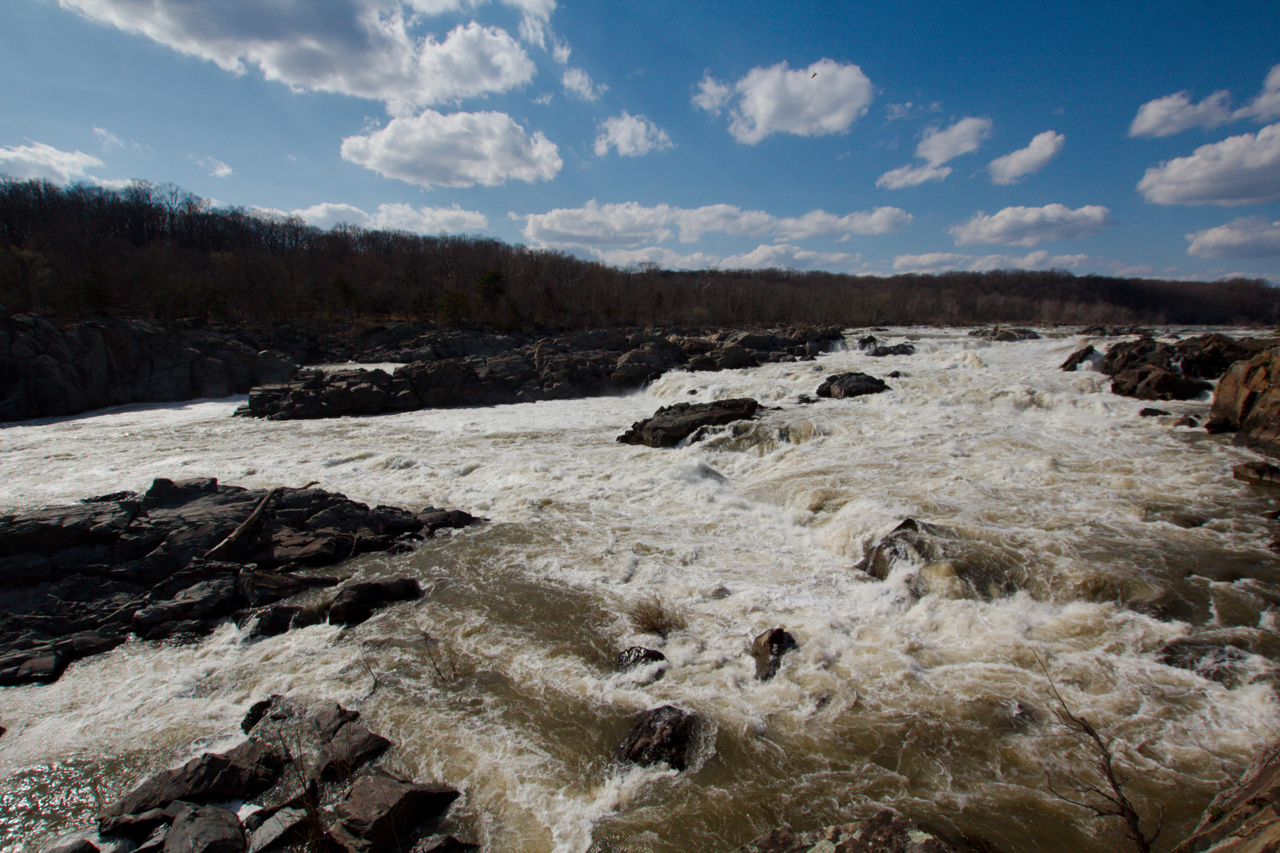
It was cool today (some said cold, but my scale is a little different to some). It was beautiful out, in any case. The sky was a deep blue and it was a perfect day to go to Great Falls and the C&O Canal. We walked out to the overlook, stopping along the way to enjoy some wildflowers in bloom. We saw lots of yellow adder’s tongue (Erythronium americanum, also known as yellow trout lily), although we only saw one or two flowers and they were not completely open yet. We saw some cutleaf toothwort (Cardamine concatenata) which I recognized but couldn’t name without looking up. We saw lots of spring beauties (Claytonia virginica), varying in color from pure white to fairly deep pink. After returning to the tow path, we found a few areas with lots and lots of Virginia bluebells (Mertensia virginica). That was a particular treat and really made it feel more spring-like.
U. S. National Cemetery, Winchester, Virginia
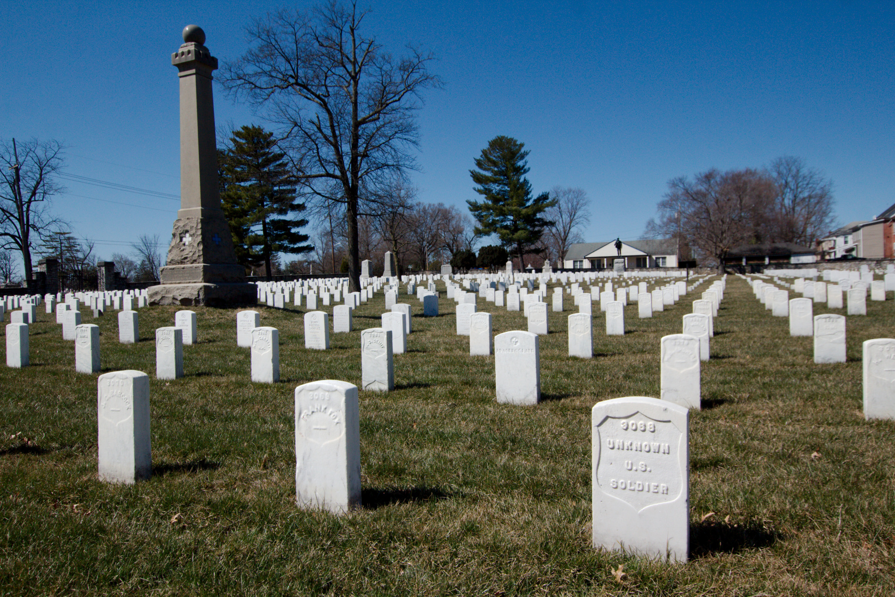
Yesterday evening, after our 3.5 mile walk on the battlefield of the Third Battle of Winchester, we visited the National Cemetery in downtown Winchester. We went there again this morning because Cathy had remembered the name of another man in Henry’s (Cathy’s great, great grandfather) division. One marker was for a man in his company and who died of wounds received the same day Henry died. Henry’s remains were never identified so we assume his is one of the graves marked, like the one in the lower right of this photograph, “Unknown U. S. Soldier”. For all we know, this is his grave (unlikely, but possible).
The large column on the left memorializes Brigadier General David A. Russell. He commanded a brigade of the 6th Army Corps in which Henry served. Gen. Russell died the same day as Henry, September 19, 1864 at the Third Battle of Winchester.
Middle Field, Third Battle of Winchester
As mentioned yesterday, we are visiting Winchester, Virginia this weekend to do a little family history work. This time it doesn’t involve library work. Mostly we wanted to visit the battlefields of the Second and Third Battles of Winchester. Cathy’s great, great grandfather was taken prisoner on June 15, 1863 during the second battle. He spent some little while on Belle Isle in Richmond before being paroled. Today we were able to find the road he and his fellow soldiers were on when they ran into the main body of the Confederate Army.
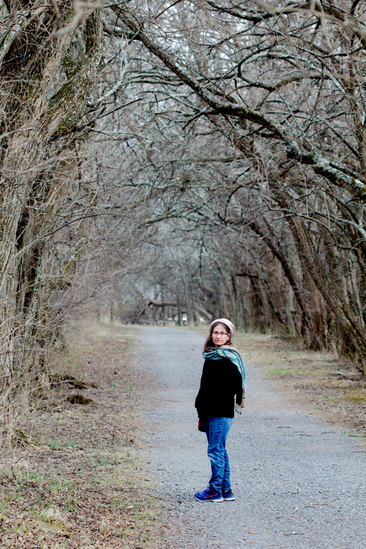
After that we had a late lunch and then moved on to the battlefield for the Third Battle of Winchester, also known as the Battle of Opequon Creek. This avenue of trees, which would not have been there in 1864, runs through the middle of what is known as the Middle Field where some of the heaviest fighting took place. Cathy’s ancestor was, with the rest of his Pennsylvania Volunteer regiment, fighting in General Wright’s Sixth Corps in General Ricketts’s division. They were along the Berryville Road (now Virginia route 7) about a mile to the south of this point and what is now the site of the Winchester Gateway shopping center. We don’t know when or where in the course of the battle he was killed but sometime that day he died. He is, presumably, in one of the graves marked ‘Unknown Soldier’ in the National Cemetery in Winchester.
Here is a short description taken from CivilWar.org:
On September 19th [1864], Sheridan advanced toward Winchester along the Berryville Pike with Maj. Gen. Horatio Wright’s Sixth Corps and Brig. Gen. William Emory’s Nineteenth Corps, crossing Opequon Creek east of town. The Union advance was delayed long enough for Early to concentrate his forces to meet the main assault, which continued for several hours. Casualties were very heavy.
Souvenir from Republic, Michigan
Cathy’s great grandfather (Grant) was born in eastern Pennsylvania during the Civil War. He grew up in the coal mining regions of Pennsylvania before moving to Republic, Michigan late in the 19th century. He and his wife and children lived there and he was employed in the iron mines. Shortly before the turn of the century, Grant left Michigan for Alaska, where he worked at the Alaska Mexican Mine in Treadwell. This was his third mining phase, having mined coal in Pennsylvania, iron in Michigan, and now gold in Alaska. This small pitcher is a souvenir from Republic, Michigan and was given to Cathy by her aunt.
Monocacy Aqueduct
We decided to have our Thanksgiving on Friday this year and that meant that today we had nothing specific to do. I thought we might go to Tridelphia Reservoir and Brighton Dam Recreation Park but when we got there, the parking lot was blocked off and the reservoir was mostly drained. I assume they are doing some sort of maintenance work on the dam. Anyway, there was nothing for it but to go somewhere else. I decided to drive to the Monocacy Aqueduct where the Monocacy River goes under the C&O Canal and then meets the Potomac River. It was an absolutely beautiful day and there were very few people about, so we had a really nice time.
Oakley Cabin
It was a beautiful if somewhat chilly day (but not unseasonably chilly) and I wanted to get outdoors for at least a little while. I went for a drive, first stopping to take some pictures in the neighborhood of trees still holding onto their leaves. Oaks are like that. Then I drove up Georgia Avenue through Olney and Brookeville and turned left onto Brookeville Road. I stopped to take a few pictures of the Oakley Cabin. This cabin is one of three that once stood here in what “was once the center of an African American roadside community from emancipation into the early 20th century. The dwelling, inhabited until 1976, is now operated as a living history museum by M-NCPPC, Department of Parks, Montgomery County.”